How Long Is The Drive Up To The Summit Of Kunanyi / Mount Wellington?
No official drive time exists for the road up kunanyi / Mount Wellington. Here is the verified distance, what the road is like, how long each summit trip takes, and when the road closes.
How Long Is The Drive Up To The Summit?
There is no official drive-time figure for the road to the top of kunanyi / Mount Wellington. Neither the Wellington Park Management Trust, the City of Hobart nor Tourism Tasmania publishes a minutes estimate. The verified distance is about 22 km from the Hobart CBD, and the guided trips that cover the return journey run from 2 hours to 2 hours 45 minutes in total.
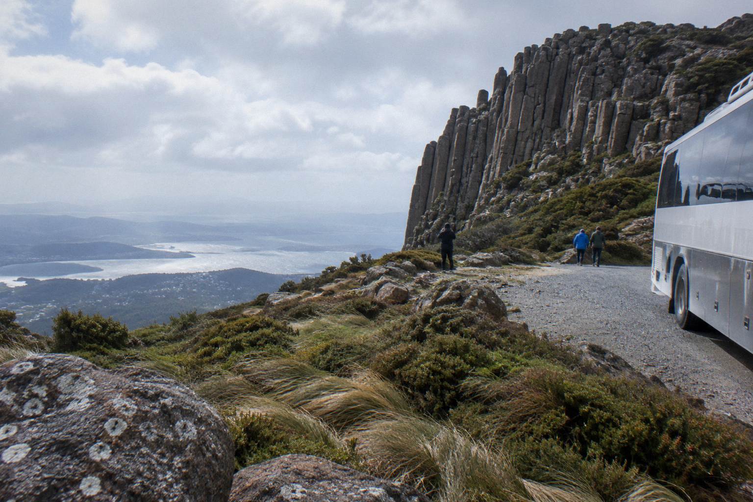
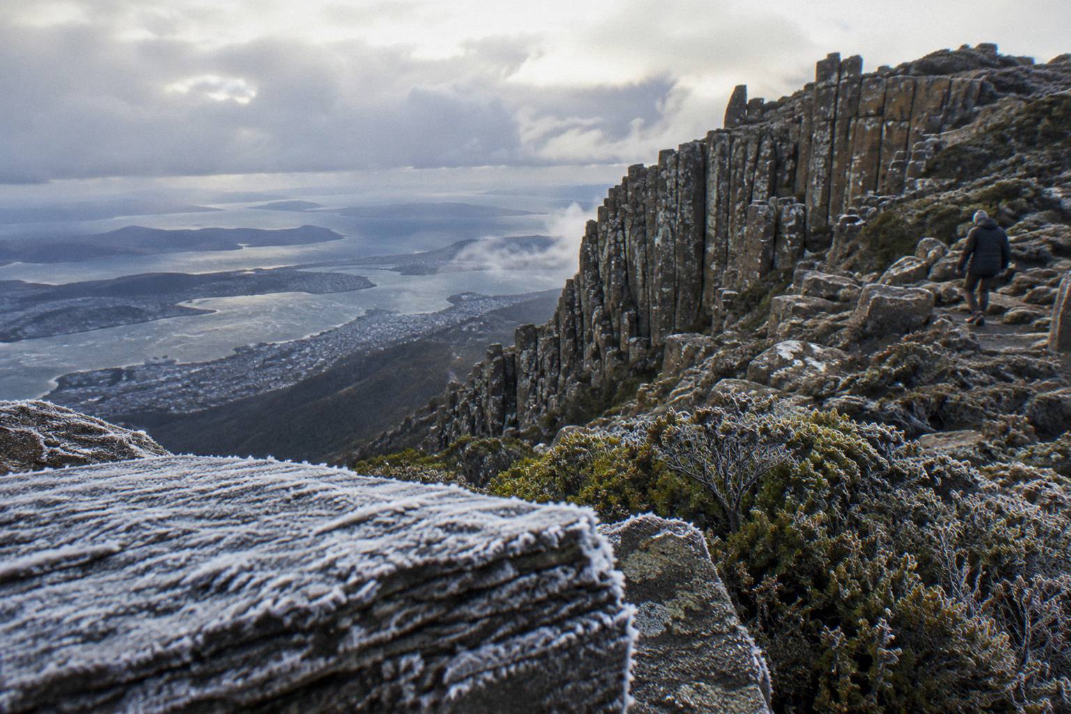
That gap between a real distance and a missing time figure is the whole story of this question. The summit of kunanyi / Mount Wellington, the mountain the palawa kani name kunanyi belongs to, on the traditional lands of the Muwinina, sits at 1,271 m directly above Hobart. It looks close. On a clear evening from the waterfront the Organ Pipes dolerite columns seem a short climb away, and first-time visitors routinely budget half an hour for the run up and the same back down.
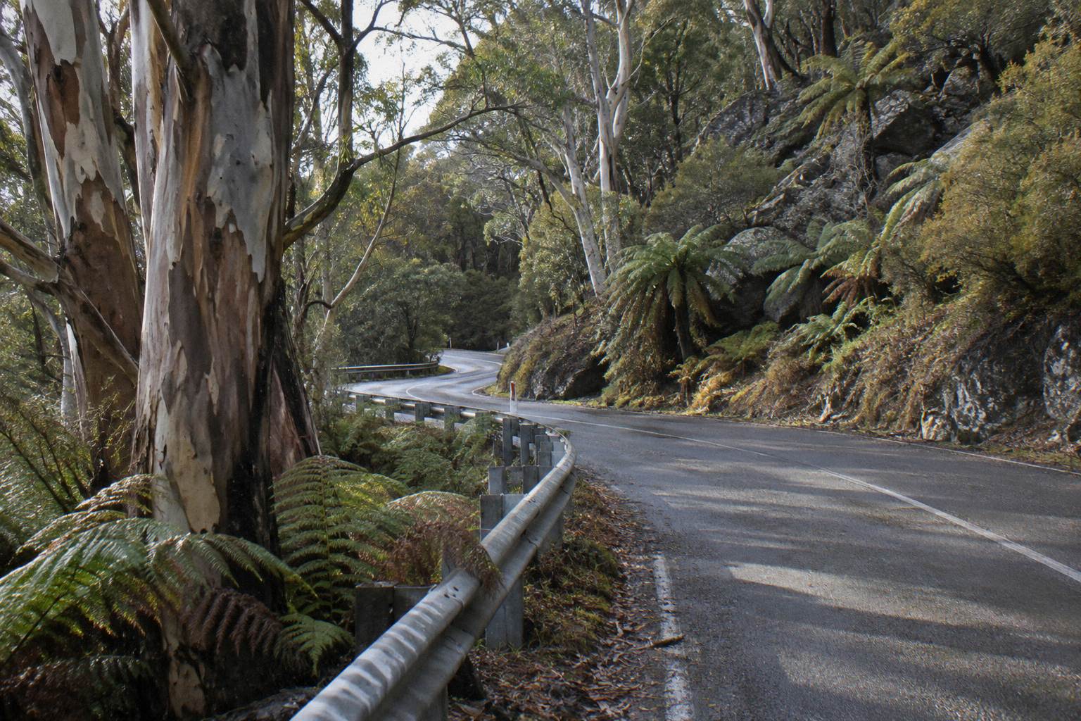
The road does not behave like a city hill climb. Pinnacle Road is sealed, but it is narrow and winding, and it is shared with bikes, pedestrians and tour buses for its entire length above Fern Tree. It starts at the end of Pillinger Drive in Fern Tree, passes The Springs at 720 m, and keeps climbing to the summit. Any time estimate has to account for that geometry, for weather that can close the road entirely, and for parking that is limited at The Springs, The Pinnacle and the roadside lay-bys.
So the useful question is not "how many minutes" but "what does the journey actually cost me". If you drive, the distance is fixed at about 22 km each way and the pace is set by the road. If you take a summit trip, the duration is printed on the listing, and it bundles the climb, the time at the top and the descent into one verified number. These are the three shortest ways up the mountain, priced in Australian dollars, all with free cancellation up to 24 hours before start:
- Return Explorer Bus Pass
- Summit Tour, 2 Hours 45 Minutes
- MONA Plus Summit Day Trip
- Mt Field, Bonorong And Richmond Trip
- Hop-On Hop-Off Summit Pass
- Summit And City Combo
- Bike Descent, Rainforest Trail
- 48-Hour Bus And City Loop
- Richmond Village Shuttle Trip
- Two-Hour Small-Group Summit
- One-Way Explorer Bus Pass
- Organ Pipes Guided Walk
- Half Day, Cascade Female Factory
Why No Official Drive-Time Figure Exists
The absence of a minutes figure is deliberate, not an oversight. The road's travel time swings wildly with ice, snow, congestion and closures, so no authority publishes a number that would mislead drivers. The Wellington Park Management Trust publishes distance, closures and conditions instead, and leaves timing to the conditions of the day.
The Trust, which manages the 18,011 hectare Wellington Park, describes Pinnacle Road plainly on its getting there page: the only public road into the park, sealed and suitable for conventional vehicles, narrow and winding, shared with bikes, pedestrians and tour buses. The Trust's page offers no estimate of how long the drive takes, because the answer changes by the hour.
Consider what the Trust's own road data shows. In 2025-26 the road was closed 95 nights for snow or ice, with overnight closures extending past 9.30am on 46 days. On the record day, 6 September after heavy snow, 1,906 vehicles came up the mountain in a single day, with City of Hobart traffic management on the road. A drive that takes one pace at 7am on a quiet Tuesday can take several times longer behind a queue of snow-seekers on a Sunday, or not happen at all when the gate is shut.
No reliable minutes figure exists for the drive, so treat any blog or forum post that gives one as a guess. What can be stated with confidence is the distance, the road character, and the closure pattern. Wikipedia gives the about 22 km figure from the Hobart CBD, and no official page contradicts it, but no official page confirms a duration either. When a number does not exist from a primary source, repeating an invented one just adds noise.
If timing is the constraint that decides your day, the practical move is to flip the question. Rather than estimating a drive, look at the verified durations of the guided trips, which are published because they are sold as timed products, and compare those against the flexible-but-uncertain drive.
What The Road Itself Is Like
Pinnacle Road is sealed, narrow and continuously winding, climbing from Fern Tree past The Springs at 720 m to the 1,271 m summit. It is shared with bikes, pedestrians and tour buses, parking is limited along it, and the Pinnacle at the top is a loop: you continue around to park, and never stop on the road itself.
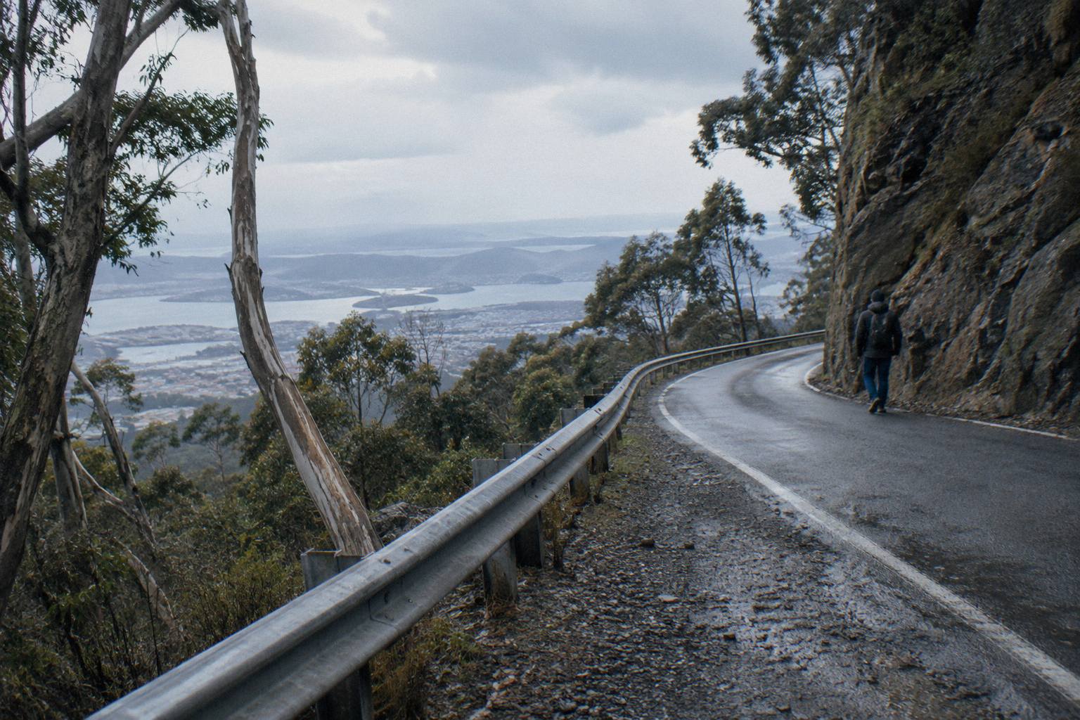
The character of the road matters as much as its length when you are estimating time. Below Fern Tree, in suburban Hobart, the approach is ordinary city driving. Once you pass the park entrance at Bracken Lane, the road becomes a mountain road in the full sense: single-lane-feeling in places, with tight bends, changing weather, and foot traffic near the popular stopping points. Cyclists ride it regularly, and walkers cross it at track heads.
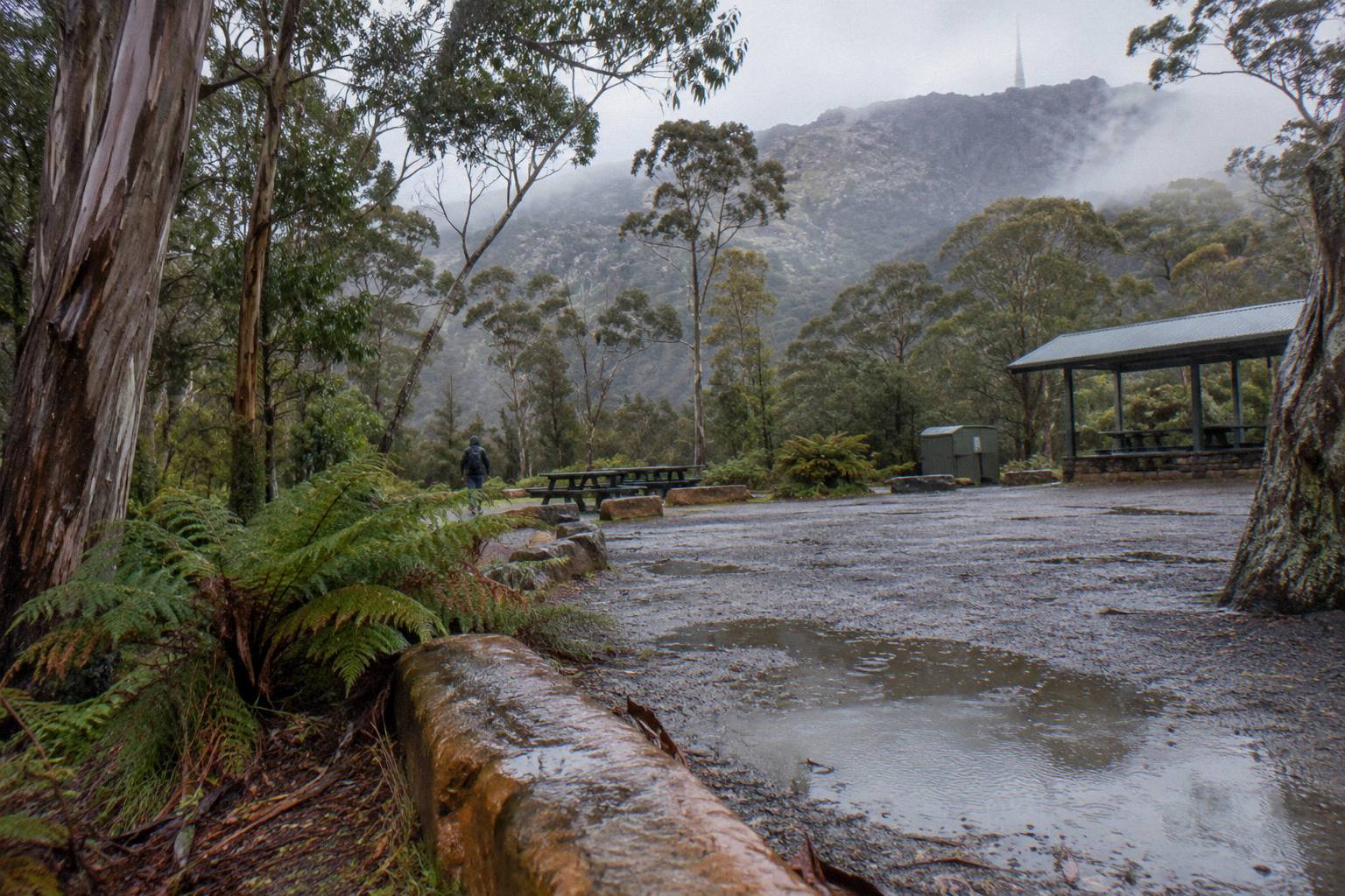
The Springs, at 720 m, is the natural halfway mark and the main staging point. There is a picnic area, the Springs Lookout, and Lost Freight, a shipping-container cafe open seven days year-round except 25-26 December, with hours that vary. Above The Springs the road climbs through The Chalet and Big Bend to The Pinnacle, where the road becomes a loop around the summit car park. The Trust's facilities guidance is explicit: keep driving around the loop to park rather than stopping on the road.
One small trap worth knowing: the FM and TV transmitters at the summit can interfere with car key fobs, and a fob that appears dead up there is a documented, harmless quirk. The Trust's park safety page flags it, along with the bigger safety point that summit conditions are far harsher than the waterfront, often 10 to 12 degrees or more colder, with wind chill below -20 °C possible.
Is driving yourself still the right call? For some travellers, yes, and the Mount Wellington Tours coverage compares the ways up in depth. But if the drive-time uncertainty is what worries you, this small-group alternative handles the road for you:
How Long The Trips Actually Take
The verified summit trips take 2 hours to 2 hours 45 minutes for a straight return, and every one of those durations includes the climb, time at the top and the descent. The Explorer Bus Return Tour runs 2.5 hours, the Hop-On Hop-Off Summit Pass 2 hours 15 minutes, the Pinnacle 2-Hour Small-Group Tour 2 hours, and the Ultimate Experience 2 hours 45 minutes.
This is the table that answers the practical version of the question. Where the drive gives you no reliable number, the trips give you a firm one, because a timed product has to publish its duration.
| Trip | Duration | From price per person | Rating on the listing |
|---|---|---|---|
| Explorer Bus Return Tour | 2.5 hours | from A$55 | 4.8 from 1,081 reviews |
| Hobart Shuttle Hop-On Hop-Off Summit Pass | 2 hours 15 minutes | from A$55 | no rating printed |
| Pinnacle 2-Hour Small-Group Tour | 2 hours | from A$55 | no rating printed |
| Ultimate Experience Guided Summit Tour | 2 hours 45 minutes | from A$65 | 4.6 from 90 reviews |
Read the durations with their formats in mind. The Explorer Bus Return Tour, run by Red Decker Company and the trip with the most reviews on the booking pages, spends roughly 30 minutes at the summit and the rest on the road, and its Explorer Pass is valid all day for hop-on-hop-off use, so a rider who jumps off at The Springs can stretch 2.5 hours into a full day. The Hop-On Hop-Off Summit Pass from Hobart Shuttle Bus Company works similarly, with an all-day bus pass and 30 minutes at the summit.
The Pinnacle 2-Hour Small-Group Tour from Island of Tasmania Tours is the tightest of the four: two hours end to end in an air-conditioned minibus carrying up to 11 people, with a university-trained local guide and 30 minutes of free time at the top. It meets at 20 Davey Street, on the corner of Elizabeth Street outside the Tasmanian Travel and Information Centre, and offers an optional drop-off at the cruise ship terminal, which suits visitors on a tight shore day. Minimum age is 8, and it is not wheelchair accessible.
The Ultimate Experience Guided Summit Tour from Experience Tasmania Gray Line Day Tours takes 2 hours 45 minutes and includes hotel pickup from selected hotels, or you meet at Brooke Street Pier. It carries up to 48 guests, and its itinerary may vary due to road and weather conditions, which is worth remembering when the mountain is moody. Note that hotel drop-off is not included.
For the full picture of what one ticket covers, the Explorer Bus ticket and stop guide breaks down the five hop-on hop-off stops and the seasonal timetable, and the guide to getting up the mountain without a car covers the other car-free options, including the Metro 448 and 449 routes, which reach Fern Tree only, not the summit.
One more read of the table helps before you book. Because every published duration covers the climb, the time at the top and the descent, the four numbers are directly comparable in a way drive estimates never are, and they sit inside a single 45-minute band, from two hours to 2 hours 45 minutes. Three of the four trips put roughly 30 minutes of that at the summit, so most of the variation between them is spent on the road rather than at the top, and your choice comes down to vehicle, group size and pickup arrangements.
Price narrows the field further. Three of the four start from A$55, which makes the A$10 step up to the Ultimate Experience the only real cost decision, and its from A$65 fare also brings the only advertised hotel pickup among the four. On reviews, the two listings that print a rating sit at 4.8 and 4.6, the Explorer backed by 1,081 reviews and the Ultimate by 90, while the other two print no rating at all, so the Explorer is the documented pick if review volume matters to you.
Group size and flexibility finish the comparison. The Ultimate Experience carries up to 48 guests, more than four times the Pinnacle tour's stated maximum of 11, so the real choice between them is a small guided van against a large scheduled departure. Flexibility points the other way, because the Ultimate's itinerary may vary with road and weather, while the two hop-on hop-off passes hold all-day validity that lets you shift your summit window around the day rather than ride to a fixed clock.
Does The Road Close, And What Then?
Pinnacle Road closed for snow or ice on 95 nights in 2025-26, and it shuts for annual maintenance every November. On 14 of those days the summit was not reachable by private vehicle at all.
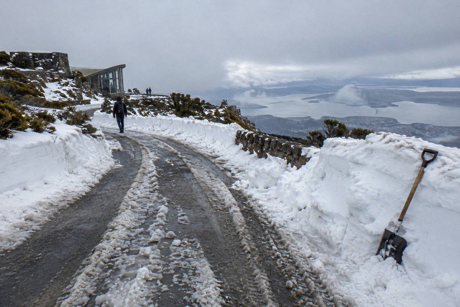
This is the single biggest reason a minutes figure for the drive cannot exist. The City of Hobart, which manages the road, closes it whenever ice or snow is present, and sometimes before snow arrives. The closure point is either Bracken Lane at the park entrance or above The Springs, which means that even on a "closed" day, the lower road to The Springs was drivable on all but one closure day in 2025-26. The mountain can be half open.
The month-by-month pattern from the Trust's road updates shows how lopsided the closures are:
| Month (2025-26 season) | Nights closed for snow or ice |
|---|---|
| July | 18 |
| August | 22 |
| September | 18 |
| October | 19 |
The other months are not given in the published data, and the Trust is careful to say access may be restricted at any time of year, particularly April to September. On top of the weather closures, the road shuts for annual maintenance every November, when there is no vehicle access to the summit, tracks stay open, and no pedestrians or cyclists are allowed on the road. Never assume the road is open on arrival, and never assume a closure means the whole mountain is shut either.
Before you drive, check the City of Hobart Pinnacle Road status page or call the Pinnacle Road Information Line on 03 6238 2711, the number the Trust's road and track updates page gives. If a closure lands on your day, the Hobart Shuttle Hop-On Hop-Off Summit Pass is explicit about what happens: on snow days when the gates are closed to the public, the tour is run by the Explorer Bus partners, the only bus approved beyond the closed gates. For more on that arrangement, see the post on whether the bus runs when the road is closed.
Parking And Congestion At The Top
Parking at The Springs, The Pinnacle and the lay-bys is limited, and on snow days the City of Hobart runs active traffic management. The record day saw 1,906 vehicles on the road. Finding a park, not the drive itself, is often what stretches a summit visit past its planned length.
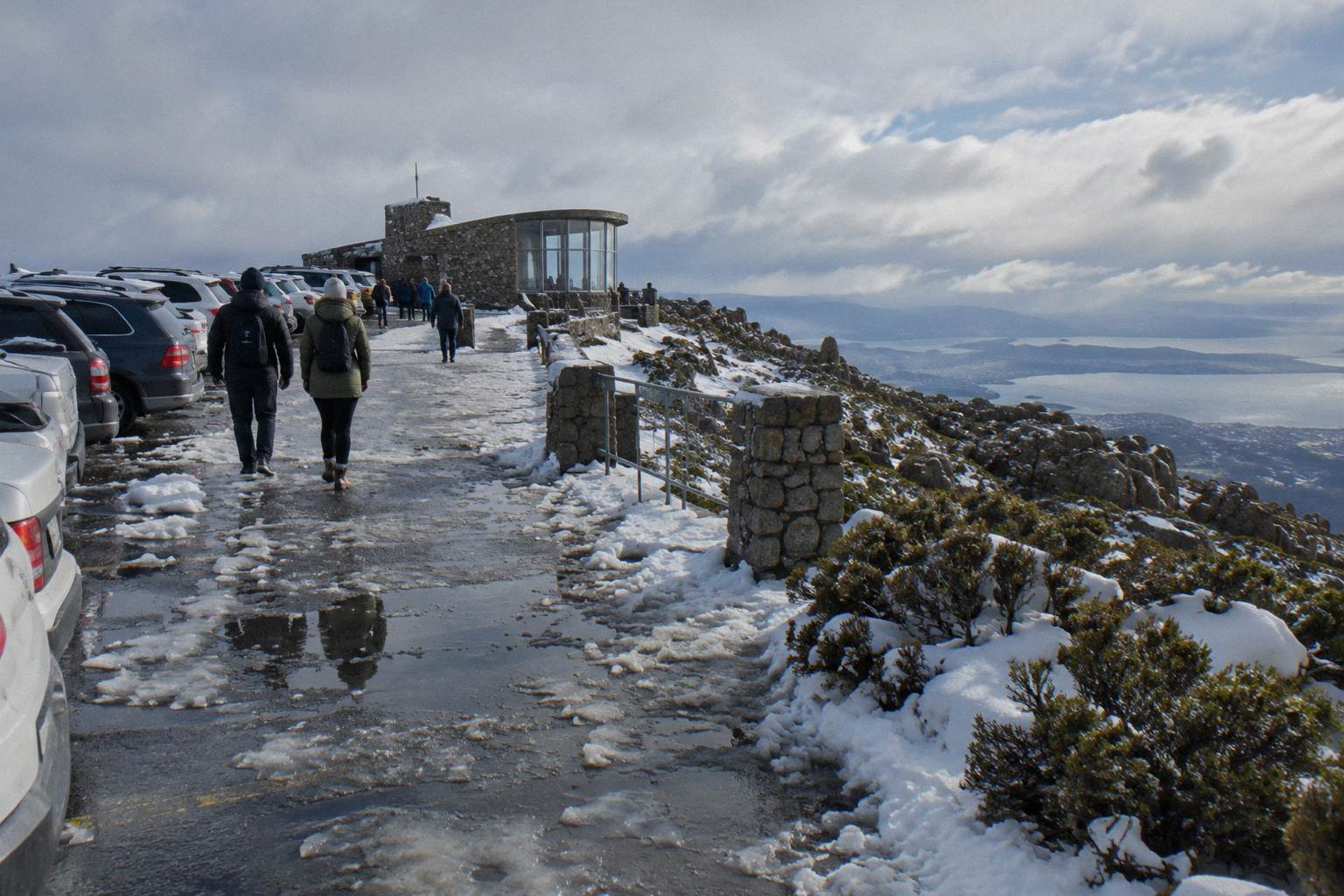
Even with the road open, the drive's real time cost includes the hunt for a space. The Pinnacle is a loop: you drive around it to the car park, and the Trust asks drivers never to stop on the road itself. On a busy clear Saturday, or any day with snow on the ground, the loop and the approach below it can slow to a crawl. The 6 September record of 1,906 vehicles in one day is the extreme case, but congestion is a routine feature of good-weather weekends and every snow event.
Guided trips sidestep this entirely. Buses have set-down at the top, so the 30 minutes your trip allots at the summit is 30 minutes at the summit, not 20 minutes of circling plus 10 at the lookout. That difference is invisible in any distance figure and decisive on the day.
Driving Or A Trip: Which Saves You Time?
If the road is open and you avoid peak days, driving is usually quicker door to summit than a guided trip, at the cost of parking uncertainty and full responsibility for conditions.
The comparison is not really about speed. It is about who absorbs the uncertainty:
| Factor | Driving yourself | A guided summit trip |
|---|---|---|
| Time to the top | No official figure; about 22 km from the CBD on a narrow winding road | Bundled in a published duration of 2 hours to 2 hours 45 minutes total |
| Road closures | You check the status page or the 03 6238 2711 line yourself | The operator adjusts; the Explorer Bus runs on closed-road snow days |
| Parking | Limited at The Springs, The Pinnacle and lay-bys | Bus set-down at the summit, no parking hunt |
| Weather risk | Entirely yours; summit often 10 to 12 degrees colder than the waterfront | Operator monitors; itineraries may vary for road and weather |
| Flexibility | Leave whenever you like | Fixed departures; free cancellation up to 24 hours before start |
Both columns are legitimate choices. Photographers chasing specific light often prefer a car for the freedom to linger, and the guides to sunset and sunrise timing at the summit are built around that freedom. Visitors on cruise-ship days, families with a fixed window, or anyone travelling in the April-to-September snow season tend to do better handing the road to a driver who runs it daily.
One budget note for the car-free option: Tasmanian public transport is currently free as a temporary measure, but the Metro 448 and 449 buses only reach Fern Tree, well below the summit, so a free fare does not solve the last, highest part of the climb.
Whichever way you go, do not build your day around a minutes figure someone quoted online. Build it around the about 22 km distance, the road's closure pattern, the season you are travelling in, and, if you choose a trip, a published duration that the operator stands behind. That is the only arithmetic this mountain allows.
Common Questions About The Drive Up The Mountain
How Long Is The Drive Up To The Summit?
No official drive-time figure exists for the road to the top of kunanyi / Mount Wellington. The distance is about 22 km from the Hobart CBD along a sealed but narrow, winding road shared with bikes and pedestrians. For a fixed time cost, the guided return trips run 2 hours to 2 hours 45 minutes in total.
Is Pinnacle Road Sealed?
Yes. Pinnacle Road is sealed and suitable for conventional vehicles, but it is narrow and winding for its whole length above Fern Tree, and it is shared with bikes, pedestrians and tour buses. It is the only public road into Wellington Park.
Can The Road Be Closed When I Visit?
Yes, at any time of year, particularly April to September. In 2025-26 it closed 95 nights for snow or ice, and it shuts for annual maintenance every November. Check the City of Hobart Pinnacle Road status page or call 03 6238 2711 before you go.
Is There Parking At The Summit?
Yes, but it is limited. The Pinnacle at the top is a loop: you continue around to the car park and never stop on the road. Parking at The Springs and the lay-bys is also limited, and on snow days the City of Hobart runs traffic management.
Can A Bus Reach The Summit When The Road Is Closed?
The Explorer Bus is the licensed service able to take visitors up when the road is closed for snow, according to the Wellington Park Management Trust. The Hobart Shuttle Hop-On Hop-Off Summit Pass is run by the Explorer Bus partners on snow days when the gates are closed to the public.