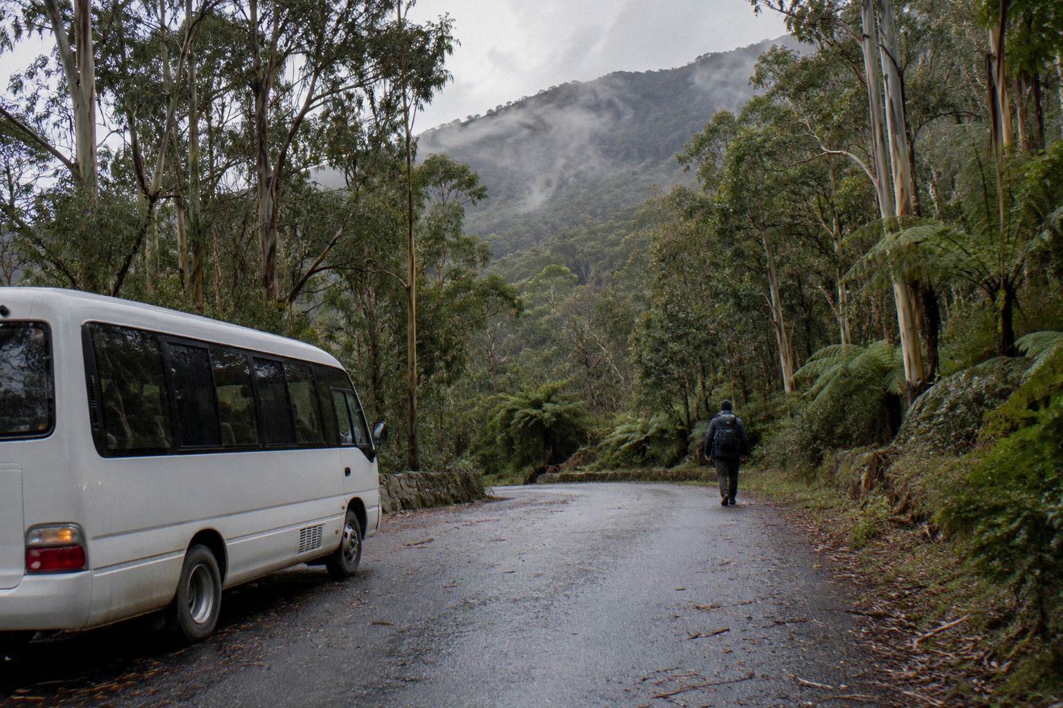
Can I Take The Bus Up And Walk Down?
Yes: the Explorer Bus One-Way Pass from A$35 per person takes you up in 50 minutes and the descent is entirely your own. Here is how the ticket, the tracks and the weather work together.
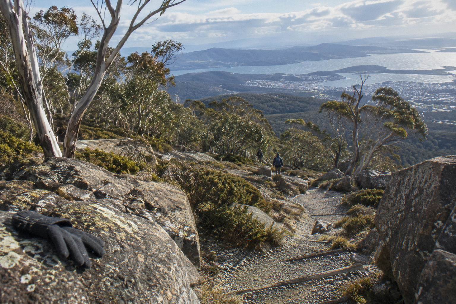
Yes, and the ticket is built for exactly that idea. The Explorer Bus One-Way Pass from Red Decker Company costs from A$35 per person, covers the 50-minute ride from Hobart to the summit of kunanyi / Mount Wellington, and includes park access, a bushwalking map and onboard commentary. The descent is entirely yours: no guide, no schedule, no return seat. What you walk down, and whether you should, depends on weather, fitness and track knowledge.
The one-way pass is the quiet enabler of one of the best day shapes on the mountain. Ride up, let the bus do the 1,271 vertical metres of climbing, spend time at The Pinnacle, then let gravity and your knees carry you back toward Hobart through Wellington Park. The alternative, walking up and down in one day, is a serious outing; the bus removes the hardest half.
The park authority, the Wellington Park Management Trust, publishes track descriptions for walks around The Springs and Fern Tree, including the Lookout Circuit, the Organ Pipes Circuit at 9.2 km, Silver Falls and O'Grady's Falls. But the specific summit-to-town descent tracks, such as the Zig Zag Track and the Pinnacle Track, have no published length, grade or walking time, so check the official park pages before planning a route on them.
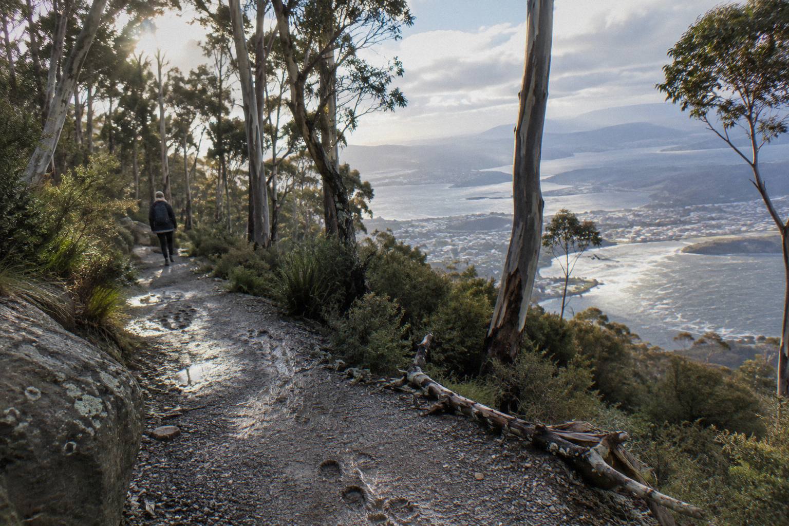
That matters more than it sounds. Plenty of pages will quote you a descent time down to the minute. Those numbers do not appear on an official track page, and track conditions on the mountain change with weather, works and season. Treat any figure you read elsewhere, including a confident one, as an estimate from someone's single experience, not a fact about the track.
How The One-Way Bus Ticket Actually Works
The Explorer Bus One-Way Pass is a single direction: Hobart city to the summit, roughly 50 minutes, from A$35 per person. It departs from Brooke Street Pier at 12 Franklin Wharf, carries up to 27 travellers, includes a Wellington Park bushwalking map, commentary and free onboard Wi-Fi, and offers free cancellation up to 24 hours before start. There is no return leg, no hotel pickup and no food, which is exactly the point.
The Explorer Bus is one service with several tickets, all run by Red Decker Company. The Return Tour, from A$55 per person and rated 4.8 from 1,081 reviews, gives you a 2.5-hour round trip with about 30 minutes at the summit and hop-on-hop-off use for the rest of the day. The One-Way Pass is the same bus, same seats, same commentary, but only the uphill half. You are buying a lift, not an itinerary.
One wrinkle worth knowing before you book: the operator's own timetable page lists departures from opposite the Tasmanian Travel and Information Centre at 4 Elizabeth Street, while the booking pages name Brooke Street Pier as the meeting point. The two differ. The reliable answer is the meeting point printed on your booking confirmation, and if in doubt the operator's booking office sits at Brooke Street Pier and answers the phone during office hours.
Departures run at 9.30am, 11am, 12.30pm, 2pm and 3.30pm, with the 3.30pm running in summer only, between 1 October and 30 April. The winter timetable runs 1 May to 30 September. Pre-booking is essential. If you plan to walk down, the earlier departures are your friends: a 9.30am start leaves you the whole day for the descent, while the last bus up compresses everything.
Because the bus also stops at Fern Tree Park, The Springs, The Chalet and Big Bend, the one-way ticket quietly gives you choices on the way up. You could ride all the way to The Pinnacle, or get off earlier and walk a shorter section. This is where the shape of your day gets decided, and where the weather gets a vote.
What The Walk Down Actually Involves
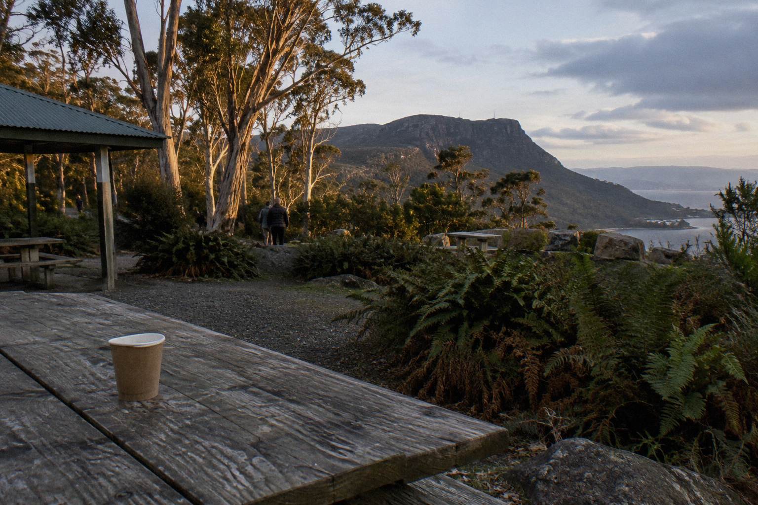
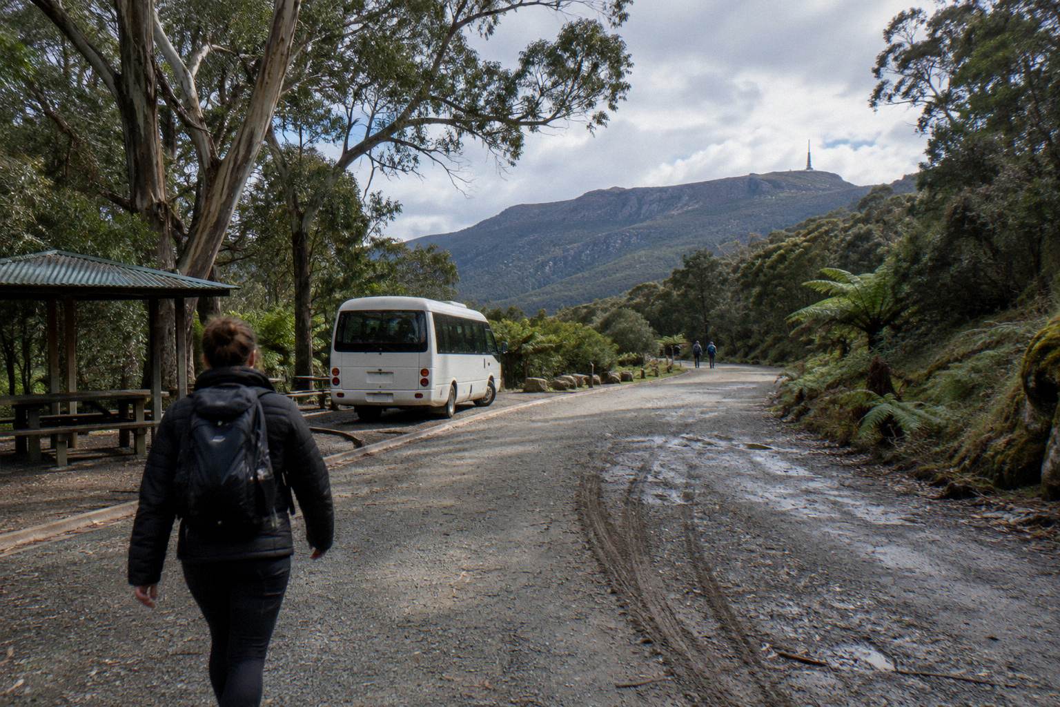
The descent from The Pinnacle is on you: no tour, no guide, no published walking time or distance, so plan from the official park track pages and the bushwalking map included with your ticket. The verified walking country sits around The Springs and Fern Tree, and the Pipeline Track currently has weekday repair closures. The road itself is shared with buses, bikes and cars, and closes to everyone each November for maintenance.
Let us be precise about what is known. The Trust's own attractions pages describe the walking network around The Springs, at 720 metres: the short level walk to Sphinx Rock, the Lookout Circuit and Exhibition Gardens, the North South Track and Radfords Track down to Fern Tree. From Fern Tree Park, the Pipeline Track leads to Silver Falls, a 4-metre waterfall, and O'Grady's Falls sits 2.2 km from Fern Tree. These are the walks with published, read-and-verified descriptions.
The tracks that run directly from the summit down include the Zig Zag Track and the Pinnacle Track. No official length, grade or time figures are published for them. If a descent via those tracks is your plan, get the current track notes from the Wellington Park website or the visitor information centre, and carry the bushwalking map that comes with your bus ticket.
Two live issues shape any walk down right now. First, TasWater repair works on the Pipeline Track between Neika and the Northwest Bay Weir run for several months, with temporary closures 7am to 5pm on weekdays. Never plan a Pipeline Track descent on a weekday without checking the track updates page first. Second, Pinnacle Road, the only public road into the park, shuts for annual maintenance every November, and during that closure no pedestrians or cyclists are permitted on the road at all. The tracks stay open; the road does not carry walkers.
There is also the question of where the walk ends. Fern Tree is the natural lower gateway: it has park access, road connections and the Metro 448 and 449 buses toward the city from nearby stops, though those routes reach Fern Tree only, never the summit. Tasmanian public transport is currently free as a temporary measure, which the Trust notes runs until June 2027, so a descent ending at Fern Tree can finish with a free bus ride back into Hobart. That is a genuinely useful escape hatch for tired knees.
Here is where the verified walking anchors sit on the mountain, so you can see what is actually described in official sources:
| Walking anchor | Where it sits | What the official pages say |
|---|---|---|
| Sphinx Rock | Near The Springs, 720 m | Short, level walk from The Springs |
| Organ Pipes Circuit | Mid mountain | A 9.2 km loop past the dolerite columns |
| Silver Falls | Reached from Fern Tree Park | A 4 m waterfall along the Pipeline Track |
| O'Grady's Falls | Near Fern Tree | A 2.2 km walk from Fern Tree |
| Zig Zag and Pinnacle Tracks | Summit to town | No verified length, grade or time read from an official page |
Is Walking Down From The Summit Safe?
Mostly yes for prepared walkers, with real exceptions. The summit sits at 1,271 metres and is often 10 to 12 degrees or more colder than the Hobart waterfront, wind chill below -20 °C is possible, and snow can fall in any month. The park closes to all users on Extreme or Catastrophic fire danger days. Weather, not distance, is what turns this walk from pleasant to serious.
The Trust's safety advice is blunt: high winds and temperatures below zero are common at the summit. The Bureau of Meteorology maintains a live station on the mountain, station 094087, and its observations, when ice has not knocked out the wind sensors, are the single best pre-walk check you can make. The station page notes that wind and feels-like readings can be unavailable when ice builds up on the instruments, which is itself a weather report of sorts.
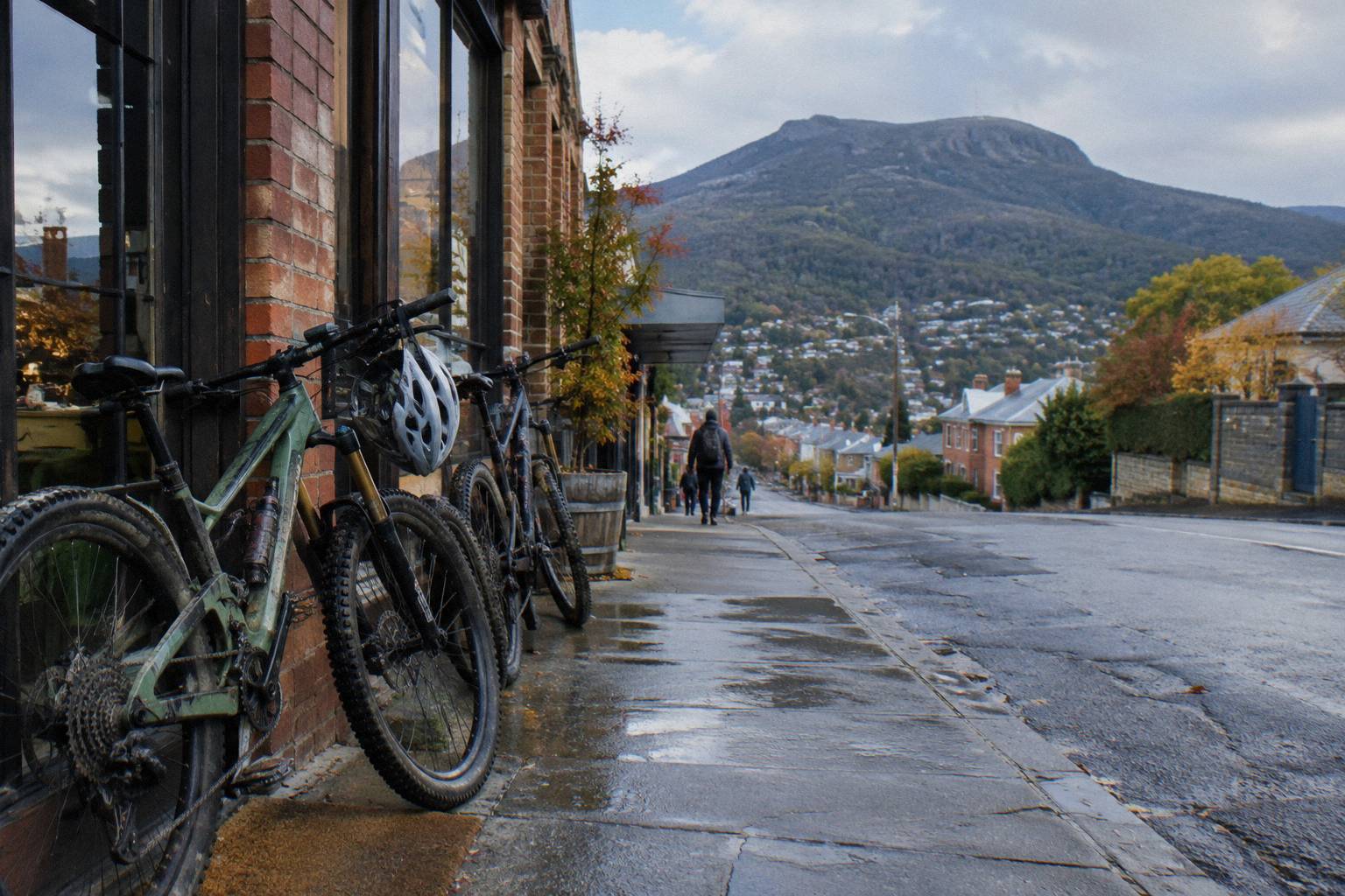
Then there is the road. Pinnacle Road is sealed but narrow and winding, shared between cars, tour buses, bikes and, outside closures, pedestrians. If any part of your descent follows the road rather than a track, you are walking a shared carriageway with limited sight lines. The Trust asks road users never to stop on the road, and during the annual November maintenance closure pedestrians and cyclists are kept off it entirely. In the 2025-26 season the road was closed 95 nights for snow or ice, with overnight closures extending past 9.30am on 46 days.
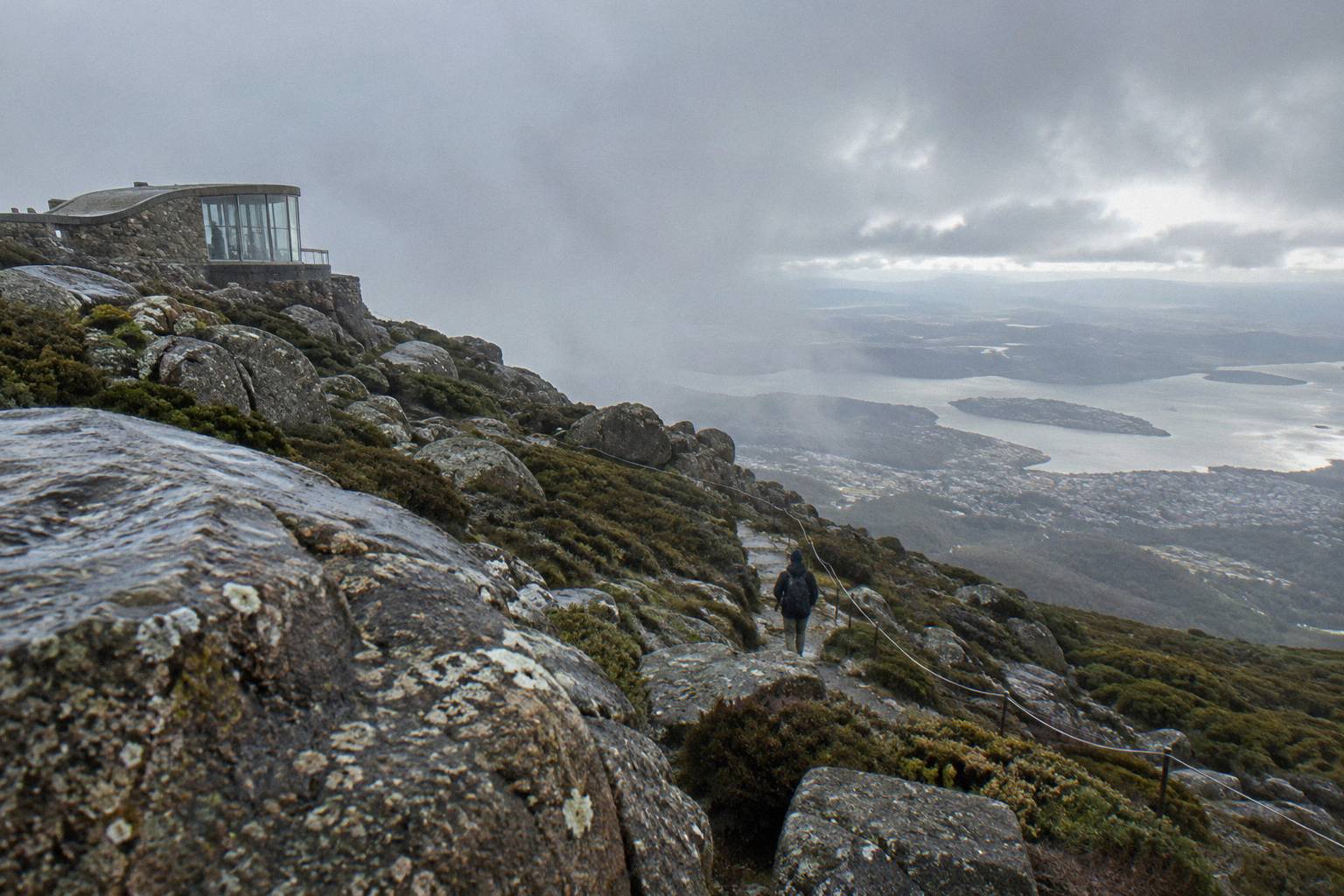
None of this says do not do it. It says pack for it. The layers that felt excessive in a 20-degree Hobart morning are the layers the summit demands; the guide to what to wear on a summit tour covers the clothing logic in detail. Water, a real map, and a phone you know works at altitude matter more than pace.
Bus Up, Bike Down: The Other One-Way Idea
If walking the whole descent sounds like too much, the same one-way logic exists on two wheels. The Summit Descent Bike Tour from Tasmanian Mountain Bike Adventures costs from A$179 per person, runs about 4 hours in groups up to 10, and includes a 30-minute bus transfer to the summit, a 6 km guided descent of the summit road, then a 12 km guided rainforest ride, with bike, helmet and gloves included.
This is the same day shape, bus up and gravity down, with a guide and a machine doing the absorbing of distance. The tour meets at the operator's shop at 466 Macquarie Street in South Hobart, so the start point differs from the Explorer Bus departure. Riders need basic bike handling skills and a basic fitness level, and there is a maximum rider weight of 120 kg.
One detail worth flagging: the booking pages conflict on minimum rider height, one stating 120 cm and another 125 cm. If a shorter rider is in your group, confirm the height rule on the live listing before booking rather than trusting either number. Free cancellation applies up to 24 hours before start, the same window as every trip listed here.
For a deeper look at the two-wheeled options, including how the bus itself carries mountain bikes, see downhill bike rides from the summit. The Explorer Bus carries up to 4 mountain bikes per departure for a separate per-bike fee, loaded at Brooke Street Pier at least 20 minutes before departure, which opens a self-guided ride-down variant of the same idea for riders who bring their own bike.
What If You Change Your Mind At The Top?
Plans bend, and the mountain has options. The Return Tour ticket, from A$55 per person and rated 4.8 from 1,081 reviews, allows hop-on hop-off use of the bus all day, so a walker who tires partway down can usually rejoin at a lower stop such as The Springs or Fern Tree and ride the rest. There is no seat guarantee on a specific run, and in bad weather the road may itself be closed.
This is the practical hedge worth thinking about before you choose a ticket. If there is any real chance the walk gets abandoned, the Return Tour's all-day pass converts your bailout from a problem into a bus stop. The difference in price between the one-way and the return is small; the difference in flexibility on a hard-weather day can be the difference between a long limp and a warm seat.
The catch is the hop-on reality: the bus runs to a timetable, seats fill, and on snow days the whole road equation changes. The operator itself says it cannot guarantee reaching The Pinnacle on snow days. The guide to what happens when the road closes during a tour covers that scenario in full.
A Guided Walk Instead Of A Solo One
If the appeal is the walking rather than the independence, the Morning Guided Walking Tour from Island of Tasmania Tours costs from A$85 per person, runs 4 hours in groups up to 10 with a university-trained local guide, and combines an air-conditioned minibus with an easy guided nature walk and lookout stops. It is a minibus-supported walk, not a full summit-to-city descent, and the minimum age is 8.
This is the option for walkers who want the mountain explained rather than merely traversed. The tour meets at 20 Davey Street, outside the Tasmanian Travel and Information Centre, and is not suitable for people with mobility impairments or children under 8. Food and hotel transport are not included, and free cancellation applies up to 24 hours before start.
It is not a substitute for the bus-up-walk-down day; it is a different product altogether. But it belongs in this comparison because many people asking the bus-up question are really asking whether they can walk on the mountain at all without committing to a solo descent. They can, with a guide, and the verified short walks around The Springs and Fern Tree are where guided and independent walkers alike spend their easiest hours.
What The Day Costs: Tickets Compared
Counting only the printable from-prices, all in Australian dollars per person: the one-way bus is from A$35, the return bus is from A$55, the guided morning walk is from A$85, and the guided bike descent is from A$179. Every one of these carries free cancellation up to 24 hours before start. The cheapest walking-down day is the one-way bus plus your own legs and a free public bus from Fern Tree.
| Day shape | Ticket | From price per person | Time on the mountain | The descent |
|---|---|---|---|---|
| Bus up, walk down | Explorer Bus One-Way Pass | A$35 | 50 minutes up, your own pace down | Solo walk, no verified time published |
| Bus up, bus down | Explorer Bus Return Tour | A$55 | 2.5-hour round trip, hop-on hop-off all day | Seated, 4.8 from 1,081 reviews |
| Guided easy walk | Morning Guided Walking Tour | A$85 | 4 hours with guide | Minibus supported, easy nature walk |
| Bus up, bike down | Summit Descent Bike Tour | A$179 | About 4 hours, guided | 6 km road descent plus 12 km rainforest trail |
Two notes on reading that table. The prices are from-prices on the live listings and can differ from the operator's own direct fares, which are not printable here; the listing price is the one you pay at checkout. And the return tour's review figure, 4.8 from 1,081 reviews, makes it the trip with the most reviews on the booking pages among these options, which is a statement about volume of feedback, not a ranking of quality.
Planning The Walk-Down Day Properly
A workable sequence looks like this: book the earliest bus, check the Bureau's live mountain station and the Pinnacle Road status the night before, carry layers for a summit 10 to 12 degrees or more colder than the waterfront, hold the bushwalking map that comes with the ticket, and plan the descent to end at Fern Tree or The Springs rather than on the road. Check the road status line, 03 6238 2711, on the morning itself.
The night-before check matters more than most of your packing. The Trust's road and track updates page carries both the Pinnacle Road status and the Pipeline Track works notices, and the City of Hobart status page is the authoritative word on the gate. The BOM station page gives current summit conditions, with the caveat that ice can silence the wind sensors. Between those three sources you know more about tomorrow's walk than most locals do.
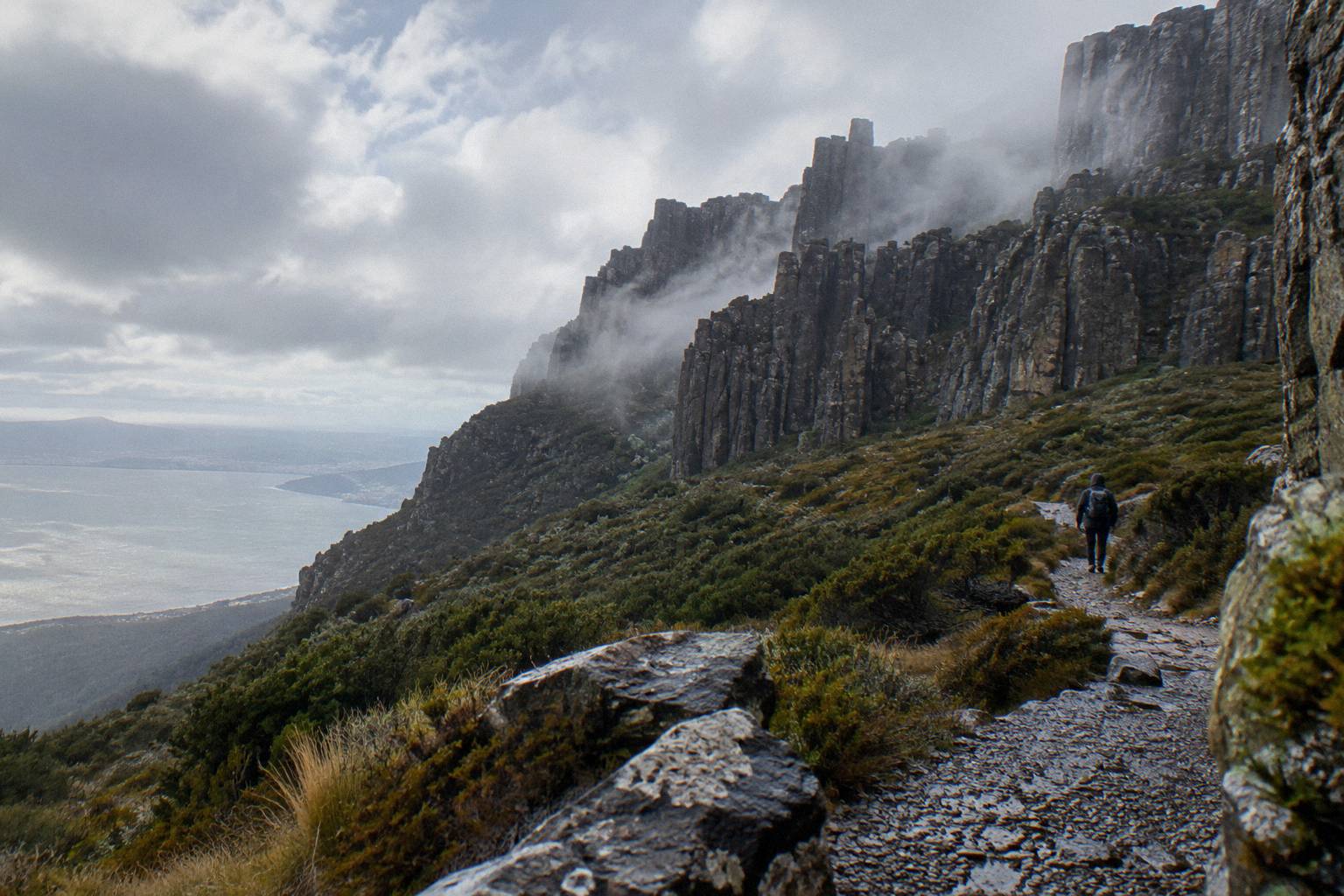
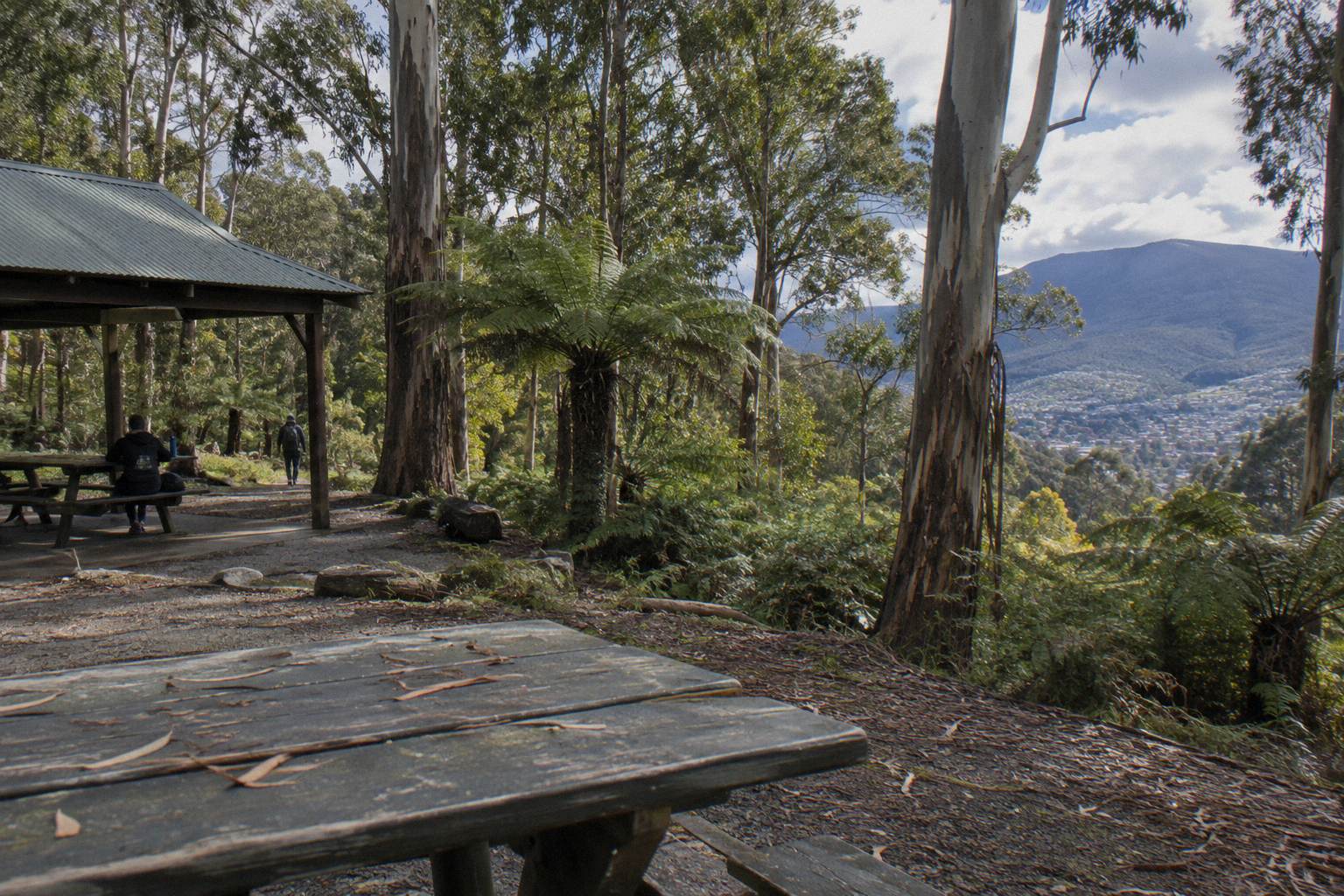
On the day, the sequencing is simple. Take the 9.30am bus if it runs. Give The Pinnacle less time than you think, because the summit is often in cloud and the walking below is the better half of the day. Descend through the verified track network rather than the road where you can. If you surface at The Springs, Lost Freight Cafe, a shipping-container cafe open seven days year-round except 25 and 26 December, is the mountain's only food stop; there is no cafe at the summit itself.
Below Fern Tree, the free Metro services complete the loop back to the city, a temporary fare arrangement the Trust says runs until June 2027. One last practical footnote from the Trust worth smiling at: car key fobs can fail near the summit's broadcast transmitters. It is harmless, but if you are meeting someone with a car at the top, it has confused better planners than you.
The bus-up, walk-down day is one of the mountain's best ideas, and the one-way ticket from A$35 per person exists precisely for it. Respect the two things that govern it, the weather window and the road status, and the descent becomes the memorable half of your Hobart day. If you want to read the wider case for the trip first, the piece on whether a summit trip is worth it makes the argument in full.
For everything the bus service itself offers beyond the one-way ride, Mount Wellington Tours keeps a full guide to getting up the mountain without a car, covering stops, timetables and the snow-day rules.
Common Questions About Bus Up, Walk Down
Can I Take The Bus Up And Walk Down?
Yes. The Explorer Bus One-Way Pass, from A$35 per person, covers the 50-minute ride from Hobart to The Pinnacle and the walk down is on your own. No published walking time or distance exists for the summit descent tracks, so plan from official track notes and the included bushwalking map.
Which Bus Ticket Do I Need For A One-Way Ride Up?
The Explorer Bus One-Way Pass, from A$35 per person, 50 minutes, departing Brooke Street Pier per the booking pages. Pre-booking is essential, and free cancellation applies up to 24 hours before start.
Is There A Guided Version Of Walking Down The Mountain?
Not a full summit-to-city guided descent, but the Morning Guided Walking Tour from Island of Tasmania Tours, from A$85 per person, offers a 4-hour guided minibus and easy nature walk experience in groups up to 10, minimum age 8.
What If I Get Tired Partway Down?
Consider the Explorer Bus Return Tour instead, from A$55 per person, which allows hop-on hop-off use of the bus all day so you can rejoin at a lower stop such as The Springs or Fern Tree. Seats on a specific run are not guaranteed.
Does The Road Ever Close To Walkers?
Yes. Pinnacle Road closes for snow or ice, was shut 95 nights in the 2025-26 season, and closes for annual maintenance every November, when no pedestrians or cyclists may use the road at all. Check the City of Hobart status page or call 03 6238 2711.
Can I Finish The Walk With A Bus Back To Hobart?
Yes, from Fern Tree. Metro routes 448 and 449 run from near Franklin Square to Fern Tree, not the summit, and Tasmanian public transport is currently free as a temporary measure until June 2027 per the Trust.