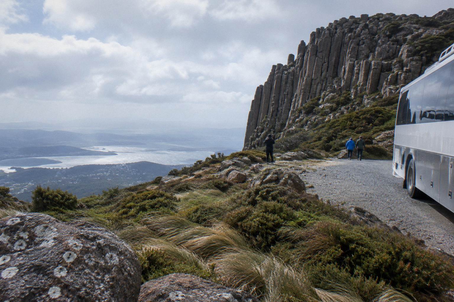
Kunanyi And Mount Wellington: The Name And The Mountain Behind The Tours
One mountain, two names, 18,011 hectares of public park and a sealed road that climbs 1,271 metres from the edge of a capital city. Here is what kunanyi / Mount Wellington actually is, and how each way of visiting it uses the place differently.
Short answer
kunanyi / Mount Wellington is a 1,271 m peak on the traditional lands of the Muwinina, inside Wellington Park, an 18,011 hectare reserve about 22 km by road from the Hobart CBD. The palawa kani name kunanyi shares official gazetted status with Mount Wellington under a 2013 dual-naming policy. Tours reach the summit by the one public road, Pinnacle Road, which closes for snow.
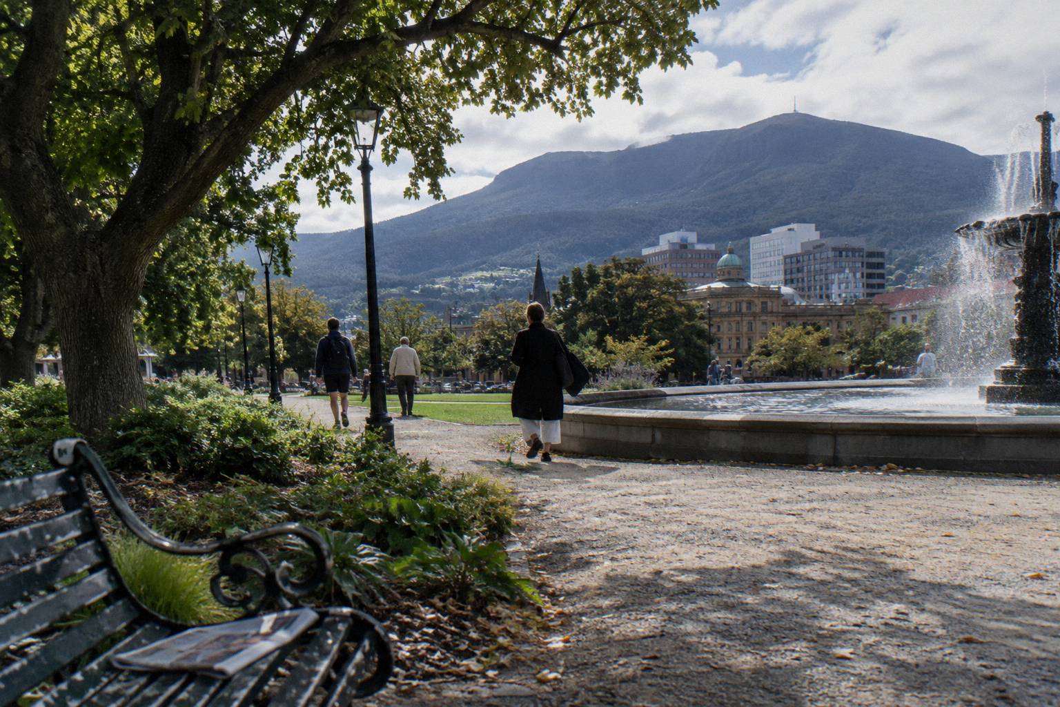
One mountain carries two official names, and both are correct. The peak that shadows Hobart is gazetted kunanyi / Mount Wellington, a dual name formalised under Tasmania's 2013 dual-naming policy, with kunanyi the palawa kani name recorded by the Tasmanian Aboriginal community. The Wellington Park Management Trust, the body that manages the park, has capitalised "Kunanyi" at the start of a sentence since 2025. On first mention the full dual form is the respectful and technically accurate one; after that, kunanyi, the mountain or Mount Wellington all work.
The mountain sits on the traditional lands of the Muwinina people, a fact the Trust states plainly on its own home page. Beyond that line, what follows is what the official park sources publish: the shape of the land, the rules of access, the weather you will actually meet, and how the thirteen tours that serve the mountain each use it differently. For Mount Wellington Tours, the point is that a mountain this close to a city, with one road and a summit often in cloud, rewards a little planning before you pick a ticket.
Why Does The Mountain Have Two Names?
The mountain is officially gazetted as kunanyi / Mount Wellington, pairing the palawa kani name kunanyi with the colonial name under Tasmania's 2013 dual-naming policy; the Wellington Park Management Trust has used a capitalised Kunanyi at the start of a sentence since 2025, and both names appear on official park signage, maps and road notices today.
Dual naming is not a nickname arrangement. The gazetted form puts the palawa kani name first, and it is the form the land manager itself uses across its safety pages, its track notices and its road closure updates. The palawa kani language is the revived Tasmanian Aboriginal language, and the name kunanyi for this mountain is part of that record. When you read a bus timetable or a closure notice that says "kunanyi / Mt Wellington", you are reading the official name, not a marketing variant.
For a visitor, the practical implication is small but real: searching for tours, checking the road status or reading a weather forecast works under either name, and the operators here use both. The Explorer Bus calls its product the kunanyi/Mt Wellington Explorer Pass. The guided coach tours say Mount Wellington. They are the same rock, reached by the same road.
There is no cable car, and none is approved: Hobart City Council rejected the application in 2022 and the Tasmanian Administrative Appeals Tribunal upheld that refusal the same year. Every visitor, guided or independent, goes up by road, on foot or on two wheels. If you are weighing the value question before anything else, the discussion of whether a summit trip is worth it covers the trade-offs in detail.
What Is Wellington Park, And How Big Is The Mountain?
Wellington Park is an 18,011 hectare reserve, open seven days with free entry, and it is deliberately not a national park: there is no Parks Pass, no entry gate and no visitor centre. The summit of kunanyi / Mount Wellington stands at 1,271 metres, roughly 22 km by the summit road from the Hobart CBD, at coordinates 42.896 degrees south, 147.2373 degrees east.
Those bare numbers carry more than they seem to. Free entry means a tour ticket is not buying access to the mountain itself; it is buying transport, commentary, timing and the operator's Trust licence. Several trips list access to Wellington Park and the summit as an inclusion, and that is true, but it is an inclusion everyone has by default. What you are choosing between is the vehicle, the group size and what happens on the way.
The size matters for expectations. The park is not a single lookout but a whole mountain catchment: Fern Tree at the base, The Springs at 720 m, the Organ Pipes cliffs, the fern gullies of the southern slopes and The Pinnacle at the top. A tour that spends 30 minutes at the summit is using a sliver of the park; a walking tour uses a different sliver entirely. The walks and hikes across kunanyi cover the track network, and the big picture stays here.
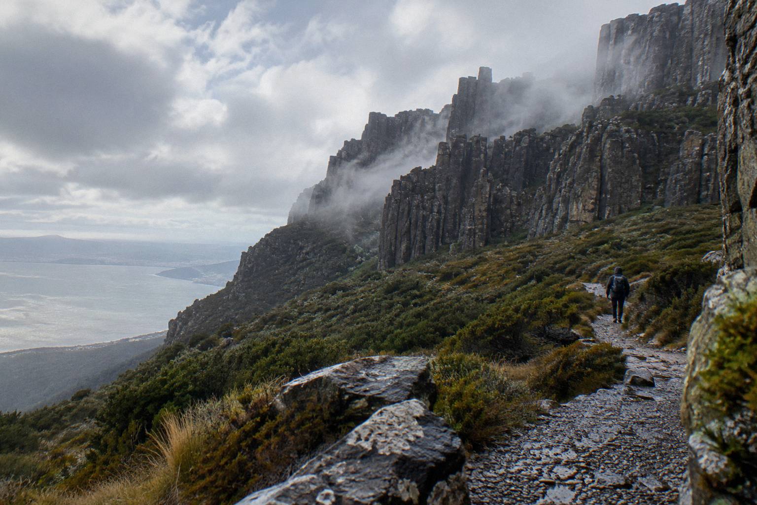
The elevation figure itself has a small wrinkle worth knowing. The Trust's home page gives 1,271 m; its facilities page says 1,270 m at The Pinnacle. Both are official, the difference is rounding rather than dispute, and either figure is fine to quote. What the height delivers is the famous temperature gap: the Trust says the difference between the Hobart waterfront and The Pinnacle can be 12 degrees or more, with wind chill below -20 °C possible, a subject covered fully below.
| Layer of the mountain | Height | What is there |
|---|---|---|
| Hobart waterfront | sea level | Tour departure points at Brooke Street Pier and Davey Street |
| Fern Tree | base of the summit road | Village trailhead, Silver Falls and O'Grady's Falls walks, Metro 448/449 terminus |
| The Springs | 720 m | Picnic area, Lost Freight Cafe, Sphinx Rock walk, road closure gate point |
| The Pinnacle | 1,271 m | Lookouts, observation shelter, toilets, the summit itself |
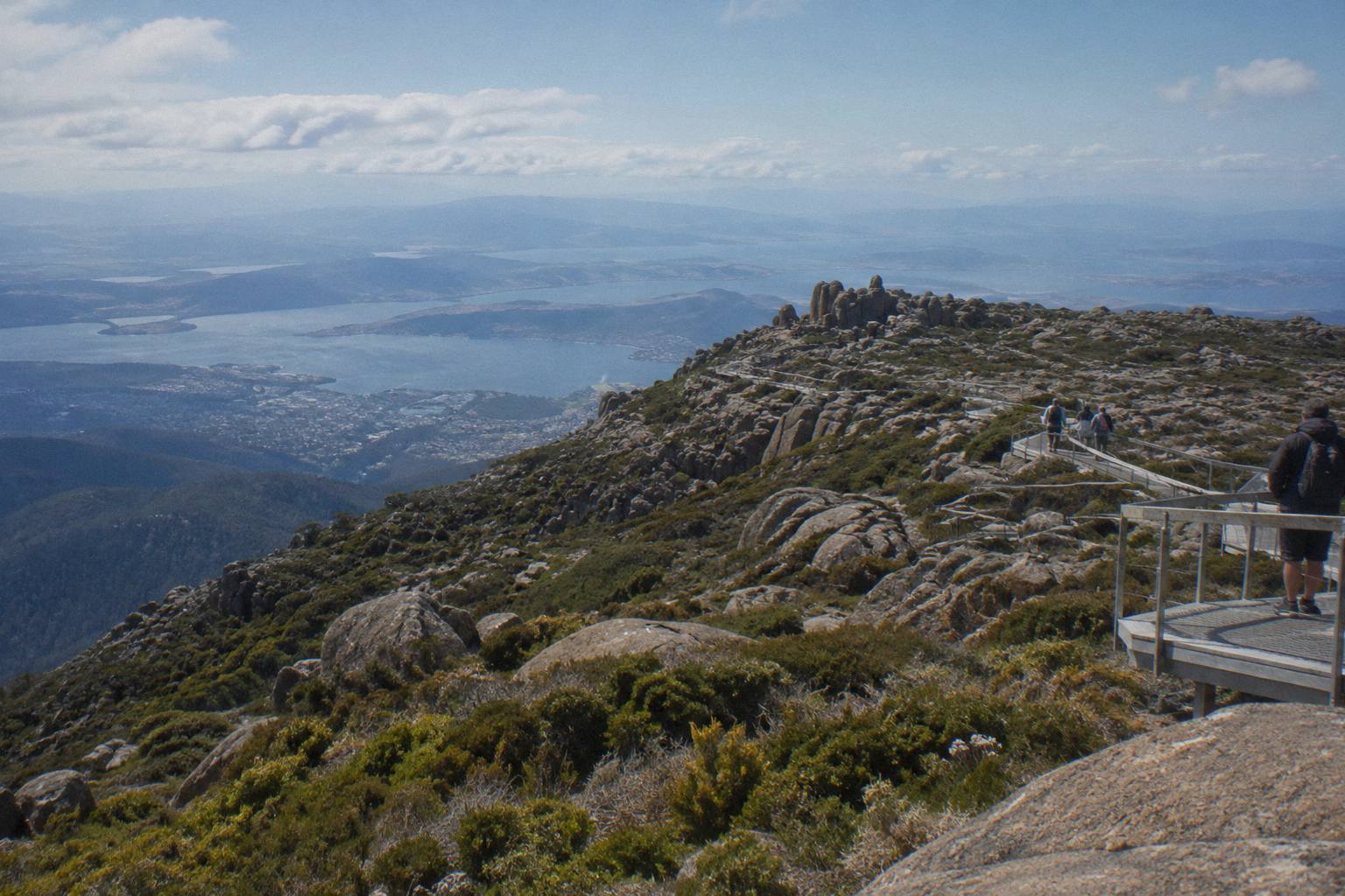
Choosing between the ways up is easier once you separate what you are buying. Three formats dominate, and this selection shows the spread: a fully guided coach trip, a small-group minibus and the hop-on bus that lets you structure your own day.
Which Trip Format Suits What You Came For?
Pick by what the mountain means to you: a guided coach with commentary suits first-time visitors who want the story told, a small-group minibus suits photographers and anyone who wants quiet time at the top, and the hop-on Explorer Bus suits independent travellers who want to get off at The Springs or the summit and make their own day of it.
Start with the guided coach format. The Ultimate Experience Guided Summit Tour runs 2 hours 45 minutes from Brooke Street Pier or selected hotel pickup, carries up to 48 guests, and is rated 4.6 from 90 reviews. It costs from A$65 per person, with full commentary en route. Hotel drop-off is not included, which surprises some travellers: you are returned to the city but not to your door. This format answers the name question before you even ask it, because the guides tell the dual-naming story on the drive.
The small-group format trades capacity for intimacy. The Pinnacle 2-Hour Small-Group Tour takes up to 11 people by minibus with a university-trained local guide, 30 minutes of free time at the top, and an optional drop-off at the cruise ship terminal that makes it a genuinely practical fit for port days. It costs from A$55 per person, runs 2 hours, and booking ages start at 8. It is not wheelchair accessible, a fact stated plainly on the booking page, so travellers with mobility equipment should weigh the accessible ways to reach the summit instead.
The hop-on format is the most flexible and, on the booking pages, the most reviewed: the Explorer Bus Return Tour carries a 4.8 rating from 1,081 reviews, more feedback than any other trip here. It costs from A$55 per person, runs 2.5 hours as a return journey, is wheelchair accessible per the booking pages, and its Explorer Pass is valid all day, so you can hop off at Fern Tree, The Springs or the summit and reboard later. For independent travellers there is a fuller guide to the Explorer Bus covering stops and seasons.
| Format | Example trip | Duration | Group size | From price | Best fit |
|---|---|---|---|---|---|
| Guided coach | Ultimate Experience Guided Summit Tour | 2 h 45 m | up to 48 | from A$65 per person | First visit, commentary, hotel pickup |
| Small-group minibus | Pinnacle 2-Hour Small-Group Tour | 2 h | up to 11 | from A$55 per person | Photographers, cruise days, quiet summit time |
| Hop-on bus | Explorer Bus Return Tour | 2.5 h | up to 27 | from A$55 per person | Independent travellers, all-day pass |
| Guided walk | Morning Guided Walking Tour | 4 h | up to 10 | from A$85 per person | Bushwalkers, nature over lookout |
The fourth row of that table is the one people forget. The Morning Guided Walking Tour, from A$85 per person, spends 4 hours with a guide and an easy nature walk built in, aimed at travellers who want to be inside the mountain's forest rather than looking at it from a platform. All four trips above allow free cancellation up to 24 hours before start, which matters on a mountain where the weather decides a lot.
What Is The Mountain Actually Made Of?
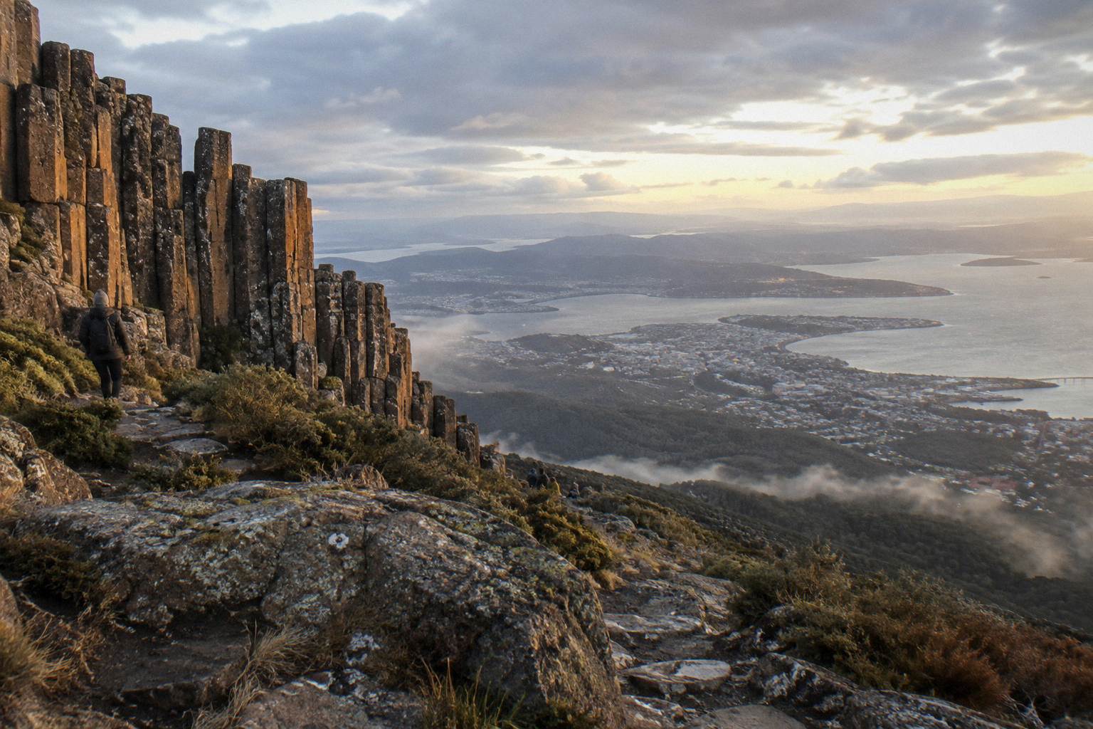
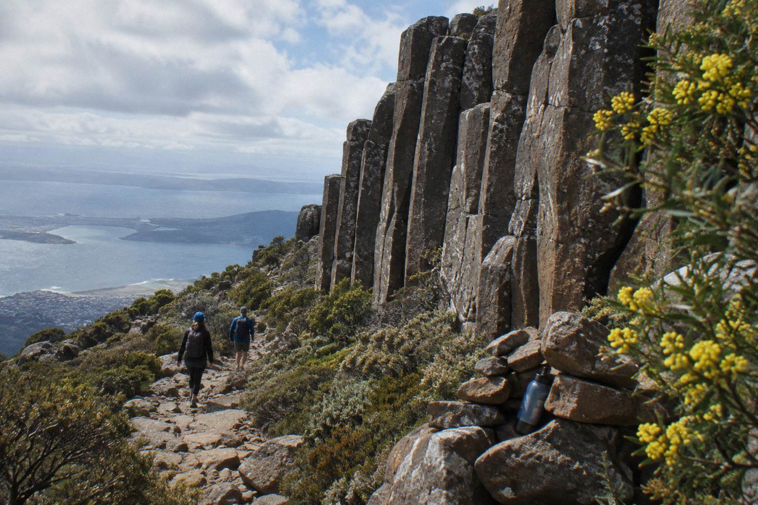
The mountain's signature is dolerite: the Organ Pipes, a wall of fluted columns visible from Hobart itself, run up the northern face, while the sheltered slopes below hold fern gullies, Silver Falls and a 4 m cascade reached from Fern Tree Park along the Pipeline Track, plus O'Grady's Falls a 2.2 km walk from the same trailhead.
The Organ Pipes are the reason kunanyi looks like a cathedral from the city. Jurassic dolerite cracked into columns as it cooled, and erosion has exposed them on the upper cliffs. You do not need to climb them to appreciate the geometry: the Organ Pipes Circuit is a 9.2 km loop through the Trust's listed attractions, and every summit-bound bus passes below the face. Commercial climbing is not part of any licensed tour here, and abseiling is specifically prohibited at the Springs Lookout.
Lower down, the mountain changes character completely. Fern Tree, the village at the mountain's foot, is the trailhead for the gentle stuff: Silver Falls along the Pipeline Track, O'Grady's Falls further around, and the short level walk to Sphinx Rock from The Springs. The Pipeline Track itself is wide and shared by walkers, runners and bikes, but it is not fully open at present: TasWater repair works between Neika and the Northwest Bay Weir, running for several months, close sections on weekdays between 7am and 5pm. Check the Trust's track updates before planning a Pipeline Track walk.
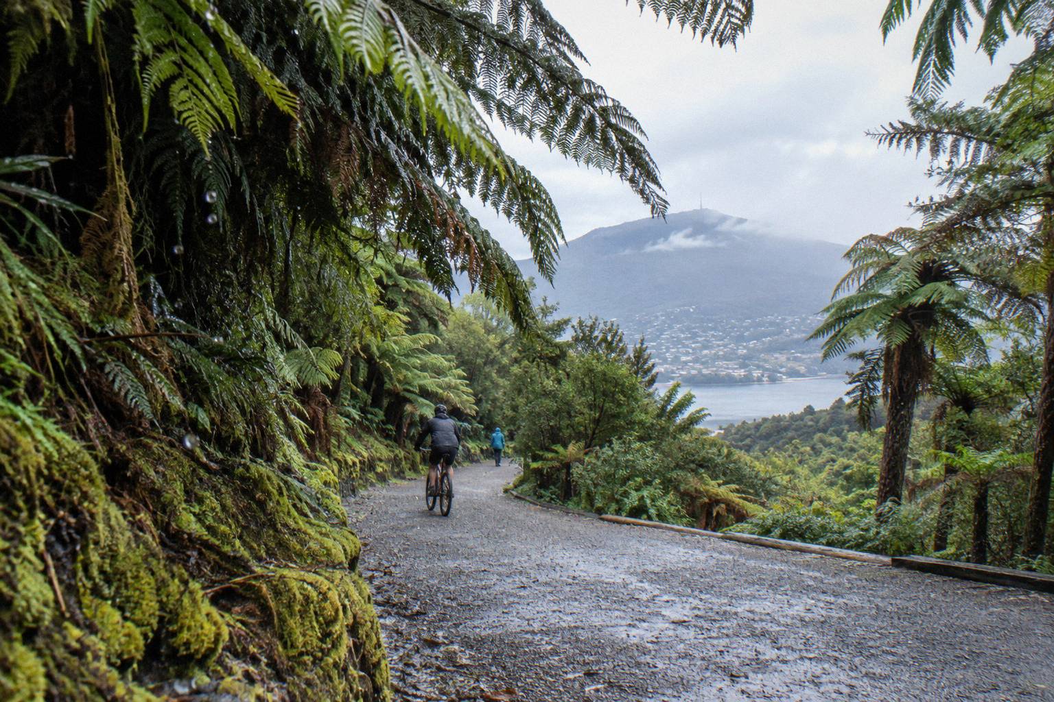
This structure, cliffs above and rainforest below, is exactly what the bike tour exploits. The Summit Descent Bike Tour, run by Tasmanian Mountain Bike Adventures, starts with a 30-minute bus transfer to the summit, descends 6 km of the summit road, then shifts to a 12 km guided rainforest trail ride: two mountains in one four-hour trip. Riders need basic bike handling skills, and the booking pages state conflicting minimum heights of 120 cm and 125 cm, a discrepancy the listings themselves have not reconciled, so check with the operator before booking a younger rider.
For the walking-inclined, the decision between a bus summit trip and a guided walk is really a decision between geology and botany. The bus tours buy you the dolerite and the view; the walk buys you the understorey.
How Much Colder Is The Summit Than Hobart?
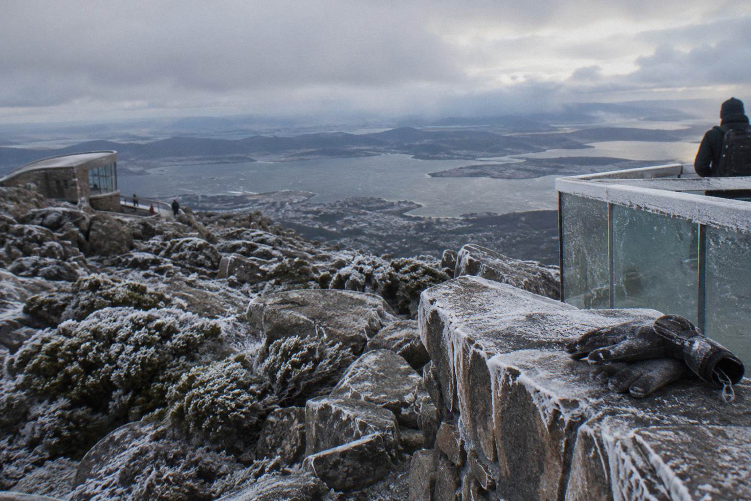
The Trust says the temperature difference between the Hobart waterfront and The Pinnacle can be 12 degrees or more, and the Explorer Bus operator says about 10 degrees cooler: write it as often 10 to 12 degrees or more colder and never rely on a single figure. High winds and temperatures below zero are common at the summit, wind chill below -20 °C is possible, and snow can fall in any month, most likely overnight from May to September.
The numbers behind those warnings are stark in the climate record. At the Pinnacle, over the 1991 to 2020 period at 1,260 m, the mean temperature in January is 9.5 °C and in July and August just 0.7 °C. The record low is -9.1 °C, recorded on 3 September 1993. The summit has never reached 30 °C, topping out at 29.8 °C on 31 January 2020, and sustained wind above 157 km/h has been recorded on the Bureau of Meteorology's own station there.
That station, Kunanyi / Mount Wellington (station 094087), publishes live observations at the Bureau of Meteorology's station page, and it comes with a caveat: wind and feels-like readings can drop out when ice builds up on the instruments, which tells you something about the conditions in their own right. There is no static figure to quote, only the live page.
| Summit climate figure (Pinnacle, 1991-2020) | Value |
|---|---|
| Mean temperature, January | 9.5 °C |
| Mean temperature, July and August | 0.7 °C |
| Record low | -9.1 °C (3 September 1993) |
| Highest temperature ever recorded | 29.8 °C (31 January 2020) |
| Strongest sustained wind recorded | over 157 km/h |
The planning consequence is clothing, not courage. The full summit weather and your tour guide and the what to wear on a summit tour page cover layering in detail; the short version is that a Hobart morning of 16 °C can be a summit morning of 4 °C with wind on top. Every guided tour here runs an air-conditioned vehicle to the top, so the cold is optional, but the 30 minutes of summit free time on most trips is spent standing in it.
Why Does One Road Control Every Tour On The Mountain?
Pinnacle Road is the only public road into Wellington Park: it starts at the end of Pillinger Drive in Fern Tree, passes The Springs at 720 m and reaches the summit, and every bus tour, bike tour and private car on the mountain shares this one sealed, narrow, winding road, managed by the City of Hobart and closed whenever ice or snow is present.
The single-road geography explains nearly everything about touring here. It explains why the Explorer Bus holds a special status: the Trust describes it as the only licensed operator able to take visitors up when the road is closed for snow. It explains why itineraries "may vary due to road and weather conditions", the exact phrase on the Gray Line booking pages. And it explains why no tour ever promises a view: the summit is often in cloud, and the operator's own snow tours state plainly that reaching The Pinnacle cannot be guaranteed on snow days.
Closures are not rare. In 2025-26 the road was shut 95 nights for snow or ice: 22 nights in August, 19 in October, 18 in July and 18 in September. Overnight closures ran past 9.30am on 46 days. On 14 days the summit was not reachable by private vehicle at all, though vehicle access to The Springs was possible on all but one of those closure days. The record day saw 1,906 vehicles on 6 September after heavy snow. Beyond snow, the road closes for events and for annual maintenance every November, when there is no vehicle access to the summit, the tracks stay open, and no pedestrians or cyclists are permitted on the road.
Before you drive or book, the status sources are the Trust's road and track updates page and the Pinnacle Road Information Line on 03 6238 2711. What happens if the road closes during your trip is a real question with a real answer, and the page on what happens if the road closes during your tour walks through the operator policies.
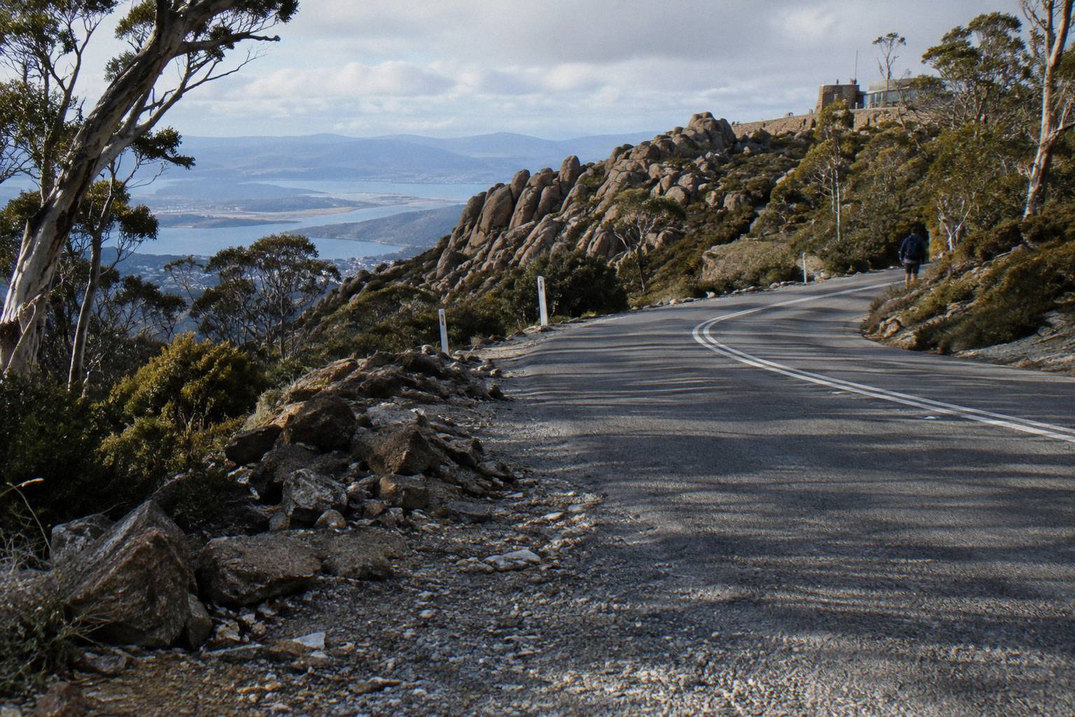
Two small practical notes belong to the road itself. The Pinnacle is a loop: continue around to park, and never stop on the road itself, a rule the Trust states because visitor stops on the carriageway are a known hazard on this narrow route. And a quirk worth knowing: car key fobs can fail at the summit near the FM and TV transmitters. It is harmless, but it has worried more than one visitor standing in the cold.
Can You Get Up The Mountain Without A Car?
Yes, and the car-free options are unusually good: the Explorer Bus departs from central Hobart with five hop-on stops, small-group and coach tours pick up in the city or from selected hotels, and Metro buses 448 and 449 run from Franklin Square to Fern Tree at the mountain's base, though they stop there and never reach the summit.
The Metro detail is the one that catches people. Public buses get you to Fern Tree, the village trailhead, and that is all. For the summit itself you need a tour, the Explorer Bus, a bike tour with its included transfers, or your own vehicle. Tasmanian public transport is currently free as a temporary measure, scheduled to run to June 2027, which makes a Fern Tree walking day a genuinely zero-cost outing if the Pipeline Track's weekday closures do not interfere.
Tours cover the rest. The Explorer Bus departs opposite the Tasmanian Travel and Information Centre with five stops, Fern Tree Park, The Springs, The Chalet, Big Bend and The Pinnacle, and the same service's return ticket doubles as an all-day pass. The small-group operators meet at fixed city points: the Pinnacle tour at 20 Davey Street, the Gray Line tours at Brooke Street Pier or selected hotels. Bike freight on the Explorer Bus costs extra per bike and must be arranged ahead. The full picture, including the free-fare detail, is in the guide to getting up the mountain without a car.
The small-group option deserves a closer look here, because it is the format that most directly connects the mountain's story to the ride. Check availability on the Pinnacle 2-Hour Small-Group Tour page, and you will find the university-trained guide format, 30 minutes of summit time and that cruise-terminal drop-off in one 2-hour package from A$55 per person.
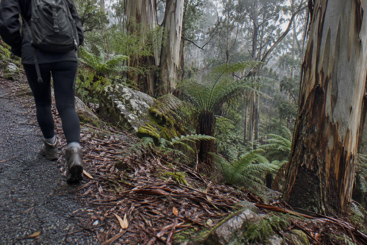
The walking option completes the car-free set. The Morning Guided Walking Tour also meets at 20 Davey Street, carries up to 10 guests aged 8 and over, and pairs the minibus with an easy guided nature walk, from A$85 per person. It is the trip that uses the mountain's forest rather than its lookout.
How Do You Match A Tour To Your Interest?
Name your interest first and the trip follows: for the panorama and the story, a guided summit tour; for photography, a small group with 30 minutes at the top; for a full day out, a combo ticket pairing the summit with the city loop; and for the mountain as landscape rather than lookout, the guided walk, with every option allowing free cancellation up to 24 hours before start.
The pairing logic works because the mountain offers genuinely different products from one road. A traveller with one free morning and a camera wants summit time and a small group: the Pinnacle format. A traveller who wants the mountain explained wants commentary: the Ultimate Experience coach, rated 4.6 from 90 reviews, with a guide talking the whole climb. A traveller with a full day and mixed interests should look at the combo tickets covered in the city and summit combo tours guide, which stack the mountain with a 48-hour city loop. A traveller who has already seen the view wants the walk.
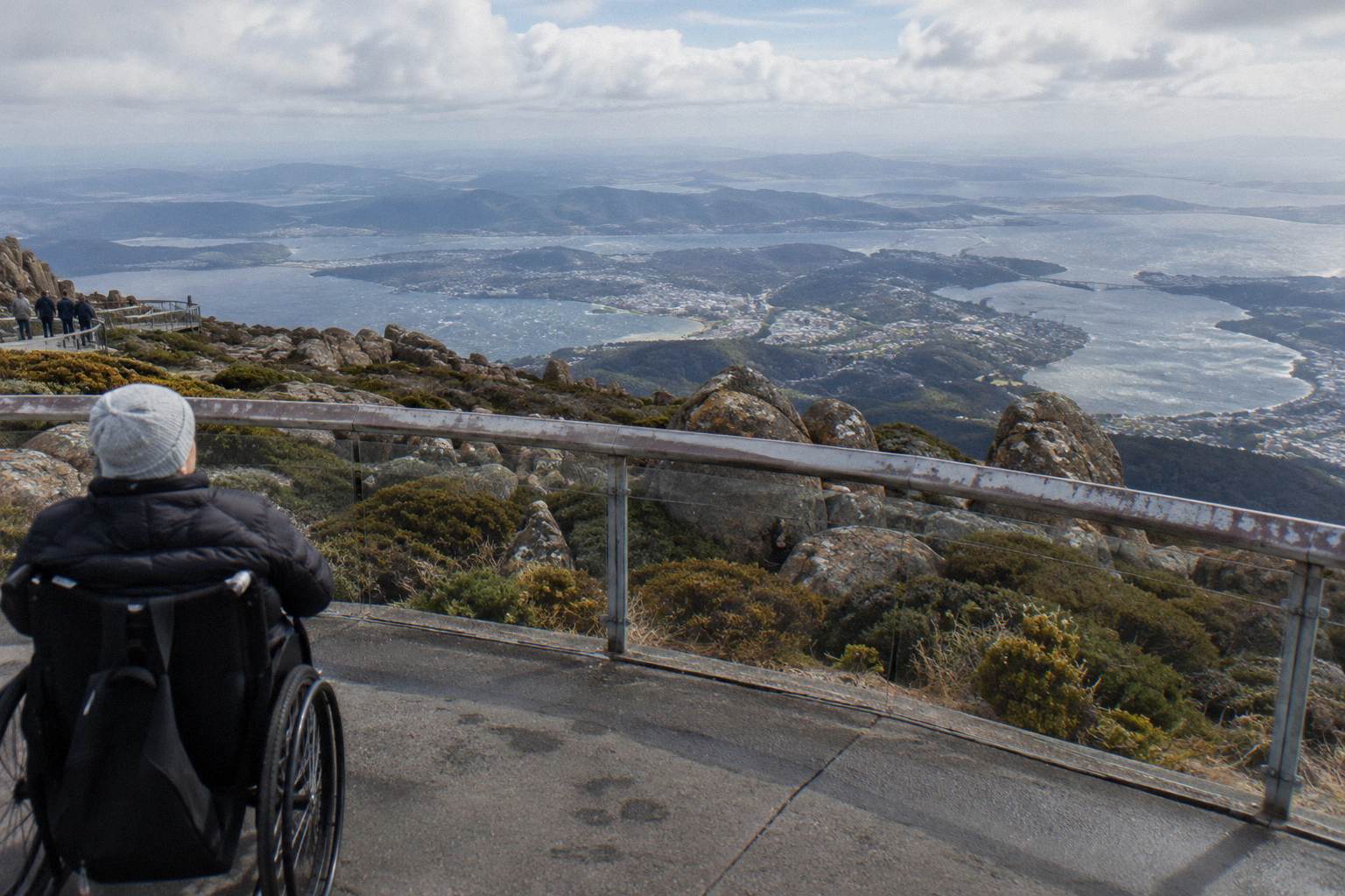
Families have an extra filter: age and access. The small-group tours start booking ages at 8 and are not wheelchair accessible; the Explorer Bus Return Tour is wheelchair accessible per its booking pages and carries up to 27. The specifics, including the bike tour's 120 kg maximum rider weight and conflicting minimum-height listings, sit in the mountain trips with kids and access guides.
| If your interest is... | The format that fits | Trips listed here |
|---|---|---|
| The view and the story | Guided coach with commentary | Ultimate Experience Guided Summit Tour |
| Photography and quiet | Small-group minibus | Pinnacle 2-Hour Small-Group Tour |
| Freedom to wander | Hop-on bus, all-day pass | Explorer Bus Return Tour |
| Forest and waterfalls | Guided walk | Morning Guided Walking Tour |
| Adrenaline | Guided descent by bike | Summit Descent Bike Tour |
Season is the final filter, and it bends all of the above. Snow changes the road, the road changes the itinerary, and cloud changes the reward. The best season for a summit trip page works through the calendar; the short version is that snow is possible in any month, most likely overnight from May to September, and that the summit being in cloud is normal, not an exception your tour operator failed to prevent.
The Explorer Bus Return Tour is the trip that copes with all of this most gracefully, which is one reason its booking pages carry more reviews than any other trip here: 4.8 from 1,081 reviews, from A$55 per person, wheelchair accessible per the booking pages, operating in all weather conditions. Check availability beside the Explorer Bus return tour page if the flexible format fits your day.
What Does The Name Mean For How You Visit?
Using the name kunanyi is not a gesture reserved for ceremonies: it is the gazetted official name, the one on the road signs, the closure notices and the bus passes, and treating the mountain as a cultural landscape rather than a viewpoint is simply accurate, since the park sits on the traditional lands of the Muwinina and is managed under a Trust with licensing rules that every tour operator here works within.
The licensing point is more than administrative colour. Commercial operators in Wellington Park need a Trust licence, client-to-guide ratios apply, and single-serve plastics are banned outright. When you board a licensed tour you are inside a management framework designed to protect an 18,011 hectare cultural and natural asset that is free to enter yet tightly governed. That is also why the Explorer Bus holds its snow-day status: exclusivity here is a safety and licensing decision, not a marketing one.
The park's rules follow the same logic. It closes to all users on Extreme or Catastrophic fire danger days. Drones need a permit. Overnight campervans are not permitted. Dogs go on lead on approved tracks only. Bikes are allowed on formed roads, fire trails and listed tracks, and riders on walking-only tracks can be fined, which is why the bike tours stick to the summit road and designated rainforest trails. The Trust's own pages, starting at wellingtonpark.org.au, publish all of this, and the site's Wellington Park rules and access guide translates the rules into visitor terms.
For most travellers the name question resolves into a small habit: say kunanyi / Mount Wellington once, know that kunanyi is the palawa kani name carried by the 2013 dual-naming policy, and know that the Muwinina are the traditional owners the Trust names on its home page. Then dress for 10 to 12 degrees or more of cooling, check the road status, and pick the format that matches your day.
However you go up, the mountain rewards being taken seriously. It is a free park with a paid road culture, a dual-named summit above a capital city, and weather that rewrites itineraries 95 nights a year. Choose the trip that matches your interest, book with the 24-hour cancellation cushion every operator here offers, and let the mountain do the rest.
Common Questions About Kunanyi
Why Does The Mountain Have Two Names?
The mountain is gazetted kunanyi / Mount Wellington, pairing the palawa kani name kunanyi with Mount Wellington under Tasmania's 2013 dual-naming policy. Both names are official and both appear on park signage, timetables and road notices.
What Does Kunanyi Mean?
Kunanyi is the palawa kani name for the mountain, recorded by the Tasmanian Aboriginal community. The park sits on the traditional lands of the Muwinina people, as the Wellington Park Management Trust states on its home page.
How High Is Kunanyi / Mount Wellington?
The summit stands at 1,271 metres according to the Trust's home page; the Trust's facilities page says 1,270 m at The Pinnacle. Both figures are official, and the difference is rounding.
Is Wellington Park A National Park?
No. Wellington Park is an 18,011 hectare reserve managed by a joint Management Trust, open seven days with free entry. There is no Parks Pass, no entry gate and no visitor centre.
Can You See The Organ Pipes From Hobart?
Yes. The Organ Pipes are a wall of dolerite columns on the upper northern face, clearly visible from the city. The Organ Pipes Circuit is a 9.2 km loop for those who want to walk among them.
Is There A Cable Car To The Top?
No, and none is approved. Hobart City Council rejected the cable car application in 2022 and the Tasmanian Administrative Appeals Tribunal upheld the refusal later that year. Everyone reaches the summit by road, on foot or by bike.