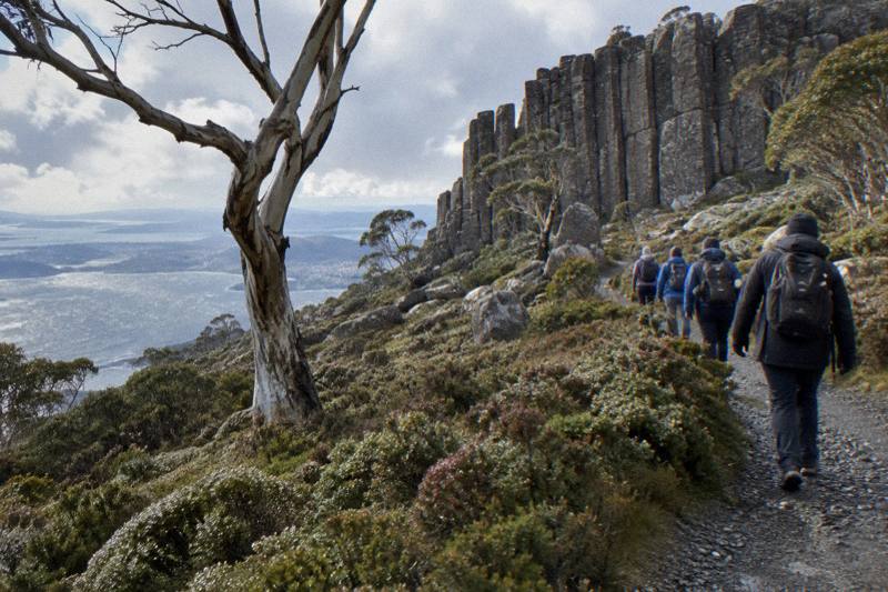
Walks And Hikes On Kunanyi: Which Track Suits You
Not every walk on this mountain is a climb. Some of the best tracks start at The Springs or Fern Tree and never go near the summit, and the choice between them comes down to time, legs and how much of the mountain you want to carry home in your memory.
Short answer
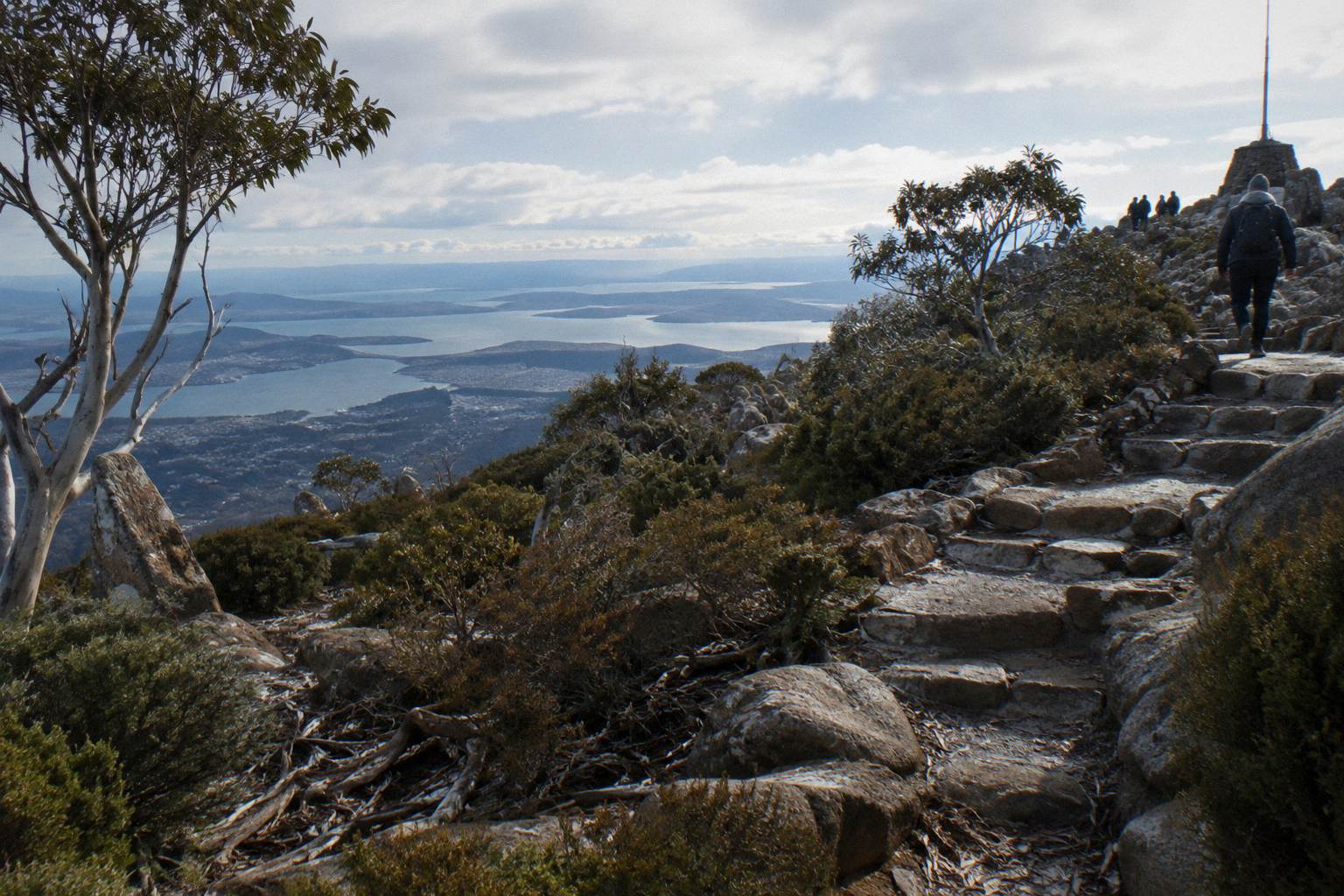
The walks on kunanyi / Mount Wellington range from the short, level Sphinx Rock walk at The Springs to the 9.2 km Organ Pipes Circuit loop. Silver Falls sits a Pipeline Track stroll from Fern Tree Park, and O'Grady's Falls is 2.2 km further out. A guided walking tour runs from A$85 per person, or the one-way bus pass from A$35 lets you ride up and walk down.
Pinnacle Road bends up the flank of the mountain through fern gullies and snow gum woodland, and the tracks that leave it are the reason many people come at all. Wellington Park covers 18,011 hectares and entry is free, seven days, no Parks Pass needed because this is not a national park. That freedom cuts both ways: nothing checks your boots, your water or your jacket before you set out, and the mountain sits 1,271 m above a waterfront that can be 10 to 12 degrees or more warmer. The walk you choose has to respect both facts.
The tracks below are ones whose length, grade and access the Wellington Park Management Trust has published: Sphinx Rock, the Lookout Circuit at The Springs, the Organ Pipes Circuit, Silver Falls via the Pipeline Track, O'Grady's Falls and the North South Track. Any track without published figures is left out rather than guessed. The tours follow the same rule: every price here is a from-price per person in Australian dollars taken from the live listing, and free cancellation up to 24 hours before start applies to every trip mentioned.
What Walks Can You Actually Do On Kunanyi / Mount Wellington?
The Trust publishes full details for six walks: the Sphinx Rock short level walk from The Springs, the Lookout Circuit and Exhibition Gardens at The Springs, the Organ Pipes Circuit at 9.2 km, Silver Falls from Fern Tree Park along the Pipeline Track, O'Grady's Falls at 2.2 km from Fern Tree, and the North South Track graded Moderate for walkers. The Zig Zag and Pinnacle tracks have no published figures and are left out.
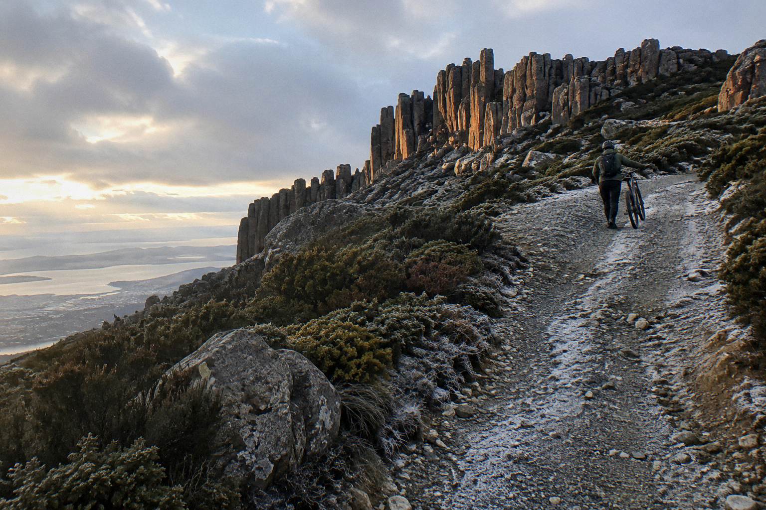
Two of those sit at The Springs, the 720 m picnic area halfway up the summit road. Sphinx Rock is described by the Trust as a short, level walk, which makes it the closest thing the mountain has to a guaranteed-family option: no climbing, a fenced lookout over the Organ Pipes, and a bus stop at The Springs if you arrive without a car. The Lookout Circuit and Exhibition Gardens sit in the same clearing, so one bus stop can serve a coffee from Lost Freight Cafe, two short strolls and a view, all before lunch.
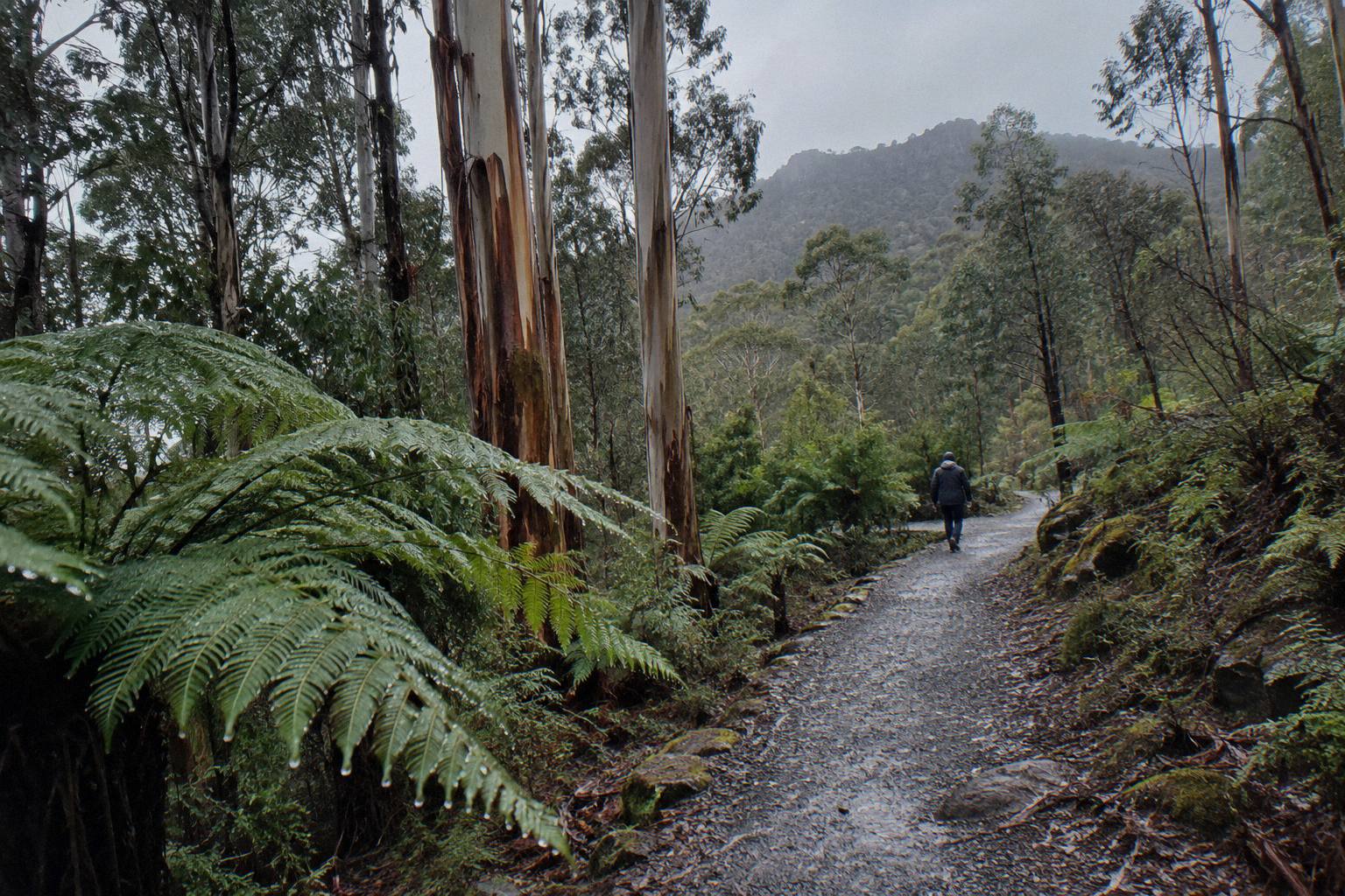
Down at Fern Tree, the character changes entirely. The Pipeline Track is wide, shared with runners and bikes, and rolls gently toward Silver Falls, a 4 m waterfall that is more about the rainforest walk than the drop itself. O'Grady's Falls is a 2.2 km walk from Fern Tree and feels further from the city than any distance suggests. The Trust's own pages carry the details, and its popular attractions list is worth a read before you commit: the Trust's track descriptions are the source every other website is copying.
One warning belongs here alone, because it affects only this track. TasWater repair works between Neika and the Northwest Bay Weir, running for several months, close sections of the Pipeline Track on weekdays between 7am and 5pm. Treat the Pipeline Track as open on weekends only until the works finish, and check before you plan a weekday waterfall walk.
Which Walk Suits Your Fitness, Your Time And The Weather?
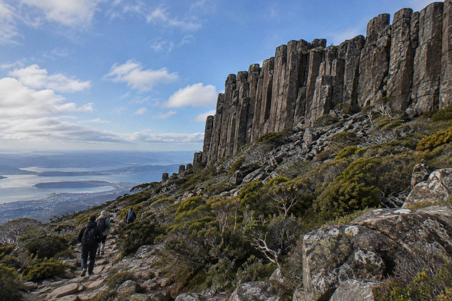
Match the walk to the worst ten minutes of your day, not the best. Sphinx Rock suits anyone who can manage a level path; the Pipeline Track to Silver Falls is gentle and wide but adds distance; O'Grady's Falls at 2.2 km is a modest half-day; the Organ Pipes Circuit at 9.2 km is a proper loop that should not be started after mid-morning in questionable weather.
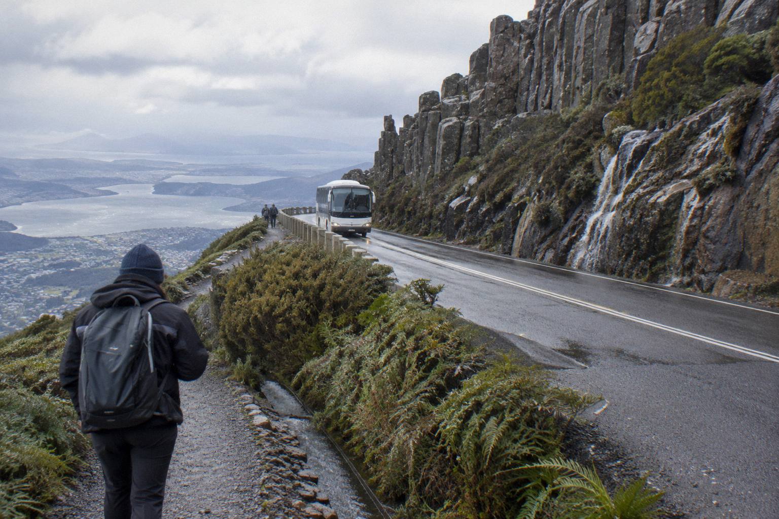
The comparison below uses only published lengths and grades. Anything not listed has no published figure, and a website that tells you otherwise is filling a gap with a guess.
| Walk | Where it starts | Published length / grade | Who it suits |
|---|---|---|---|
| Sphinx Rock | The Springs (720 m) | Short, level walk | Almost everyone, including kids and slow walkers |
| Lookout Circuit and Exhibition Gardens | The Springs | Short circuit | Anyone with an hour at The Springs |
| Silver Falls | Fern Tree Park, via Pipeline Track | 4 m waterfall, wide shared track | Casual walkers wanting rainforest, not views |
| O'Grady's Falls | Fern Tree | 2.2 km walk | Half-day walkers comfortable on a bush track |
| Organ Pipes Circuit | Trackhead on the mountain | 9.2 km loop | Fit walkers with a full half-day and good weather |
| North South Track | The Springs and Glenorchy end | Moderate for walkers | Walkers wanting a longer through route |
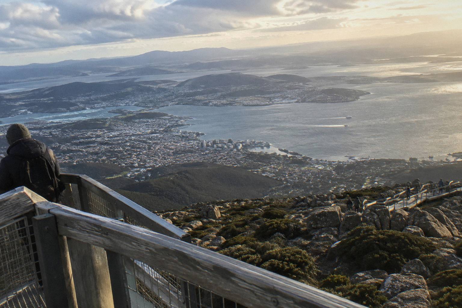
Weather deserves its own paragraph in any walking decision on this mountain. The Trust states flatly that high winds and temperatures below zero are common at the summit, that the gap between the Hobart waterfront and The Pinnacle can be 12 degrees or more, and that wind chill below minus 20 °C is possible. Snow can fall in any month, more likely overnight from May to September. A walk that starts in Hobart sunshine can finish in sleet at The Springs, which is 720 m closer to that summit weather than the city is. If you want the full picture before picking a day, our page on summit weather and how it shapes your tour goes deeper than any forecast app will.
There is also the road itself to consider, because several of these walks start where the road ends or partway up it. Pinnacle Road closes when ice or snow is present, closed 95 nights in the 2025-26 season, and shuts for annual maintenance every November. Trackheads do not move, but your way of reaching them can. The details, including the status line to call, live in our guide to Pinnacle Road closures and what they mean for your day.
If the table points you toward going with someone who knows the tracks rather than finding your own way, these three formats cover most walkers:
Should You Walk With A Guide Or Go Alone On The Mountain?
A guide earns their fee on this mountain in three specific ways: reading the weather as it builds, naming the plants and the palawa history you would walk straight past, and removing every decision about route-finding from your morning. Going alone is free and flexible, and on a clear day on Sphinx Rock it is entirely sensible; on the Organ Pipes Circuit in shifting cloud, company with local knowledge starts to look like insurance.
The trade-offs are concrete. Alone, you choose your start time, turn back whenever the cloud rolls in, and pay nothing but your bus fare, which is currently free on Tasmanian public transport as a temporary measure, though Metro routes 448 and 449 reach Fern Tree only, never the summit. Guided, you get a fixed meeting point, a group cap and someone whose job is the judgment call you would otherwise make with a phone map and hope. The Morning Guided Walking Tour from Island of Tasmania Tours, for example, caps the group at 10, sets a minimum age of 8, and pairs the walk with an air-conditioned minibus and a university-trained local guide. It runs 4 hours from 20 Davey Street, outside the Tasmanian Travel and Information Centre, from A$85 per person.
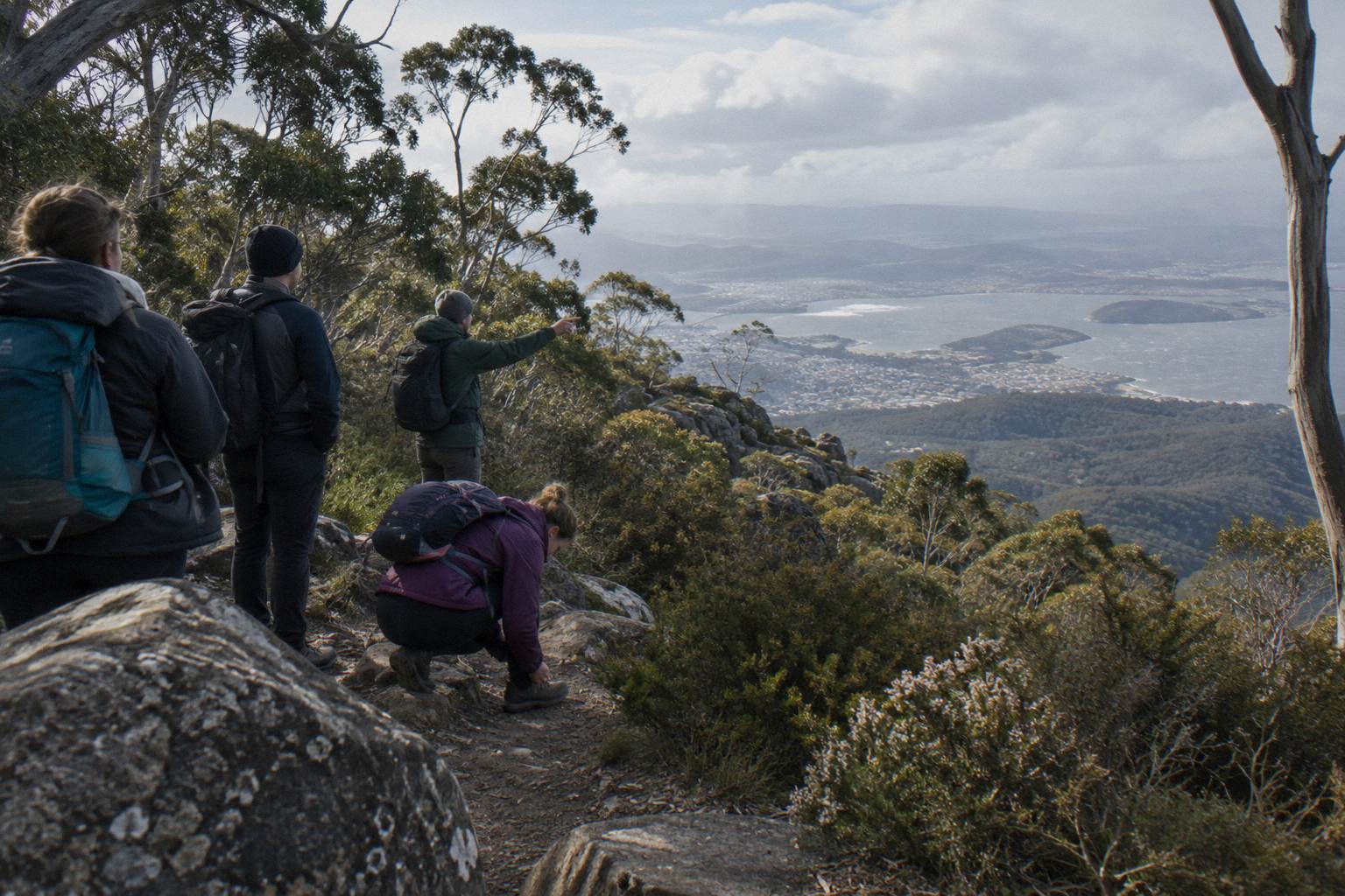
Two limits on that description are worth knowing. First, the route, tracks, distance and grade of the Morning Guided Walking Tour are not published on the booking page, so ask the operator before booking if the track matters to you; only the format is confirmed, an easy guided nature walk, not the footpath. Second, it is listed as not suitable for people with mobility impairments, and hotel pickup and drop-off are not included. Free cancellation up to 24 hours before start softens the commitment if the forecast turns.
Between the solo and guided poles sits a middle option worth naming: the Pinnacle 2-Hour Small-Group Tour, also from Island of Tasmania Tours, runs a minibus to the summit with 30 minutes of free time to explore the top. It is from A$55 per person, groups capped at 11, minimum age 8. It is not a walk, but it pairs cleanly with a later solo stroll at The Springs or Fern Tree if your legs want both a summit and a forest.
Can You Ride Up The Mountain And Walk Down?
Yes, and it is one of the smarter ways to walk this mountain. The Explorer Bus One-Way Pass, from A$35 per person, carries you from Hobart to the summit in 50 minutes with commentary, and from the top you can walk down through the park to a stop such as The Springs or Fern Tree, where the return leg or a connecting option picks you up.
The logic is simple: the climb up is the least interesting part of most walks, a long grind on a shared road or fire trail, while the descent passes the lookouts, the snow gums and the change from alpine to rainforest in the direction worth photographing. The Explorer Bus runs five hop-on hop-off stops, Fern Tree Park, The Springs, The Chalet, Big Bend and The Pinnacle, so a walk-down plan can be cut short at any of them if the weather sours or the knees object. The bus runs seven days, closed Christmas Day and Good Friday, and pre-booking is essential. See Mount Wellington Tours for more on the same trip.
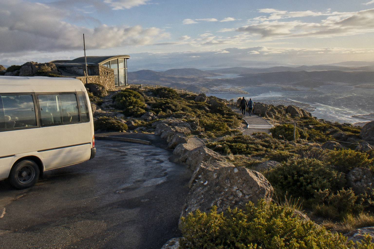
Two caveats shape the plan. One meeting-point wrinkle: the operator's own timetable lists departures opposite the Tasmanian Travel and Information Centre at 4 Elizabeth Street, while the booking pages name Brooke Street Pier, so use the meeting point stated on your booking confirmation rather than either from memory. And walking down from the summit on the road is not the same as a track: the road is narrow, winding and shared with buses and bikes, and the Trust closes it to pedestrians entirely during the November maintenance shutdown. Track descriptions for the road-parallel paths, including the Zig Zag and Pinnacle tracks, have no published figures, so plan the descent around the bus stops and the tracks in the table above rather than an assumed trail. If riding a bike down instead appeals, that is a different animal entirely, covered in our page on downhill bike rides from the summit.
For readers weighing the whole no-car question, including the free Metro buses to Fern Tree, the fuller picture is in our guide to getting up the mountain without a car.
What About The Falls, The Pipeline Track And The Fern Tree Walks?
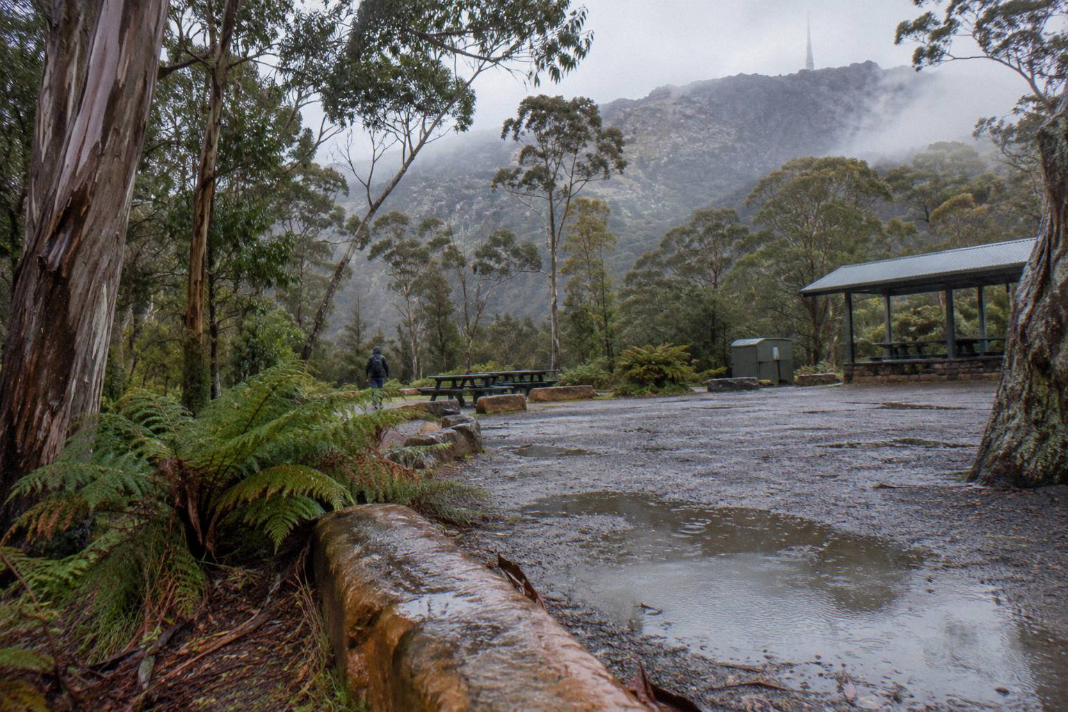
Fern Tree is the mountain's soft entry point, and its two waterfall walks suit visitors who want rainforest rather than altitude. Silver Falls is a 4 m waterfall reached along the wide Pipeline Track from Fern Tree Park, and O'Grady's Falls is a 2.2 km walk from the same village. Both stay below the snow line most days and neither requires summit-level gear.
The Pipeline Track itself deserves respect as infrastructure, not just a path. It is wide, flat by mountain standards, and shared by walkers, runners and bikes, which makes it the track most visitors can actually do in ordinary shoes. The catch, stated once above and repeated only as a pointer: TasWater repair works between Neika and the Northwest Bay Weir bring temporary weekday closures from 7am to 5pm for several months. Weekends are the safe assumption for a Silver Falls walk until the works end.
Bike riders need to know the rule that comes with that shared surface. Bikes are allowed on formed roads, fire trails and listed tracks only, and riders on walking-only tracks can be fined. The North South Track is the notable legal through route, graded Blue Square, intermediate, for bikes and Moderate for walkers, with the Glenorchy MTB Park at its northern end. Rules like these, plus the fire-danger closures on Extreme and Catastrophic days, the drone permit requirement and the on-lead dog rules on approved tracks, are laid out by the Trust's park safety page, which is the only authoritative version of them.
Because a Fern Tree day can be built several ways, this is how the pieces compare:
| Fern Tree day plan | Tracks used | Published facts to plan around |
|---|---|---|
| Waterfall stroll | Pipeline Track to Silver Falls | 4 m waterfall, wide shared track; weekday works closures 7am to 5pm |
| Longer falls walk | O'Grady's Falls | 2.2 km walk from Fern Tree, bush track |
| Free-transport arrival | Metro 448 weekdays, 449 weekends and public holidays | Free temporary fares; reaches Fern Tree only, not the summit |
| Village base | Fern Tree Park trackhead | Start point for both falls walks and the Pipeline Track |
What Should You Wear And Carry For Any Walk Here?
Dress for the summit even when your walk never reaches it, because The Springs at 720 m already sits inside the mountain's weather. Carry a windproof and waterproof layer, warm layers under it, more water than feels necessary, and check two things before leaving your accommodation: the Pinnacle Road status and the live conditions on the Bureau of Meteorology's own summit station.
The Bureau runs an official station at the top of the mountain, Kunanyi / Mount Wellington, station 094087, publishing live observations only, no forecast of its own. It even notes that wind and feels-like readings can drop out when ice builds up on the instruments, which tells you what kind of place you are dressing for. The Trust's figures back that up: high winds and below-zero temperatures are common at the summit, the waterfront-to-Pinnacle gap can be 12 degrees or more, and wind chill below minus 20 °C is possible. Write the gap into your packing as "often 10 to 12 degrees or more colder than Hobart" and never as a fixed number.
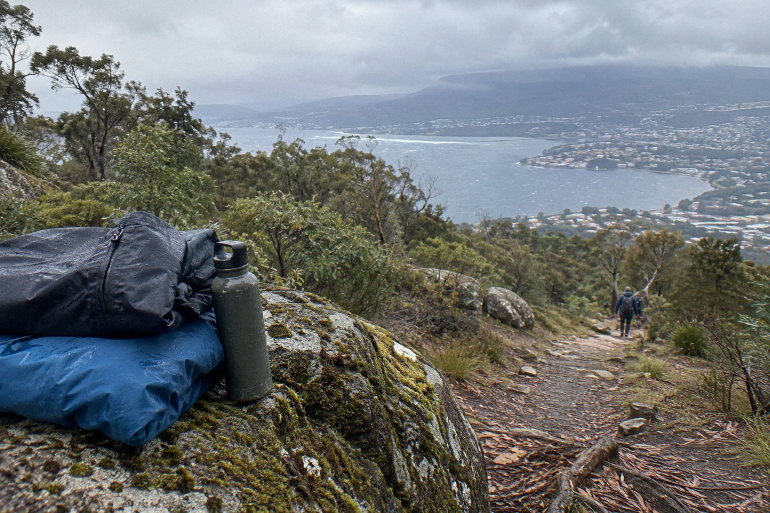
A packing checklist is easier to act on than a lecture, so here is the layer-by-layer version, tied to the stated conditions rather than folklore:
| Item | Why it earns its place on kunanyi |
|---|---|
| Windproof and waterproof outer shell | High winds are common at the summit and The Springs shares the same weather system |
| Warm mid layers | The waterfront-to-Pinnacle gap can be 12 degrees or more; snow can fall in any month |
| More water than feels right | The climb out of Fern Tree dehydrates people who dressed for a waterfront stroll |
| Sturdy shoes for bush tracks | O'Grady's Falls and the Organ Pipes Circuit are bush tracks, not pavement |
| Checked road status | Pinnacle Road closed 95 nights for snow or ice in 2025-26, plus a maintenance shutdown each November |
The road status matters even to walkers who never touch it, because closures change how you reach a trackhead and how you get back. The City of Hobart's Pinnacle Road status page and the Pinnacle Road Information Line, 03 6238 2711, are the authoritative sources; the Trust lists that line on its safety page and no other number should be trusted for road status. Remember too that the summit is often in cloud: a walk sold to you by a postcard view may deliver white nothing at the top and the best scenery 300 m below it. Whether a summit trip is worth it in fog works through that trade.
For clothing choices at a level a walker actually feels, the season-by-season breakdown is in what to wear on a summit tour, which applies just as much at The Springs as at The Pinnacle.
Is A Guided Walking Tour, A Bike Descent Or A Summit Minibus The Right Format For You?
Walkers with a full morning and steady legs get the most from the four-hour Morning Guided Walking Tour at from A$85 per person; visitors who want the summit, a guide and two hours away from town fit the Pinnacle 2-Hour Small-Group Tour at from A$55 per person; confident riders suit the Summit Descent Bike Tour at from A$179 per person. All three cancel free up to 24 hours before start.
The three formats overlap less than their prices suggest. The walking tour is about the forest, the guide and the slow noticing. The two-hour summit tour is about the view and the efficiency, with 30 minutes of free time at the top and an optional drop at the cruise ship terminal for shore visitors. The bike descent is about gravity: a 30-minute bus transfer to the summit, a 6 km descent of the summit road, then a 15-minute transfer to a 12 km guided rainforest ride, roughly four hours in total.
| Format | From price per person | Time | What it is really about |
|---|---|---|---|
| Morning Guided Walking Tour | A$85 | 4 hours | Forest, guide, easy guided nature walk, group up to 10 |
| Pinnacle 2-Hour Small-Group Tour | A$55 | 2 hours | Summit view and efficiency, 30 minutes of free time on top |
| Summit Descent Bike Tour | A$179 | 4 hours | Gravity: 6 km summit road descent plus a 12 km rainforest ride |
| Explorer Bus One-Way Pass | A$35 | 50 minutes | The ride-up, walk-down building block for independent walkers |
The bike option has physical gates worth stating plainly. The listing sets a maximum rider weight of 120 kg and excludes people under 120 cm, while the other booking page states a minimum rider height of 125 cm with moderate-to-basic fitness; the two heights conflict, and anyone booking for a teenager should query the exact minimum with the operator before paying. Basic bike handling skills are required and guides ride with the guests, which is the format's main safety feature. All prices are per person and in Australian dollars.
Whatever format you choose, the mountain rewards the visitor who treats it as a place with rules rather than a backdrop. Choose your track from the published list, dress above its altitude, check the road and the weather on the morning, and leave the Zig Zags of the internet's imagination alone.
Common Questions About Walks And Hikes On Kunanyi
What Is The Easiest Walk On Kunanyi / Mount Wellington?
The Sphinx Rock walk from The Springs is described by the Trust as a short, level walk, making it the easiest option, with a lookout over the Organ Pipes and a bus stop at the start.
How Long Is The Organ Pipes Circuit?
The Organ Pipes Circuit is a 9.2 km loop, the longest walk with Trust-published figures, and should be treated as a proper half-day commitment in decent weather.
Can You Walk To Silver Falls?
Yes. Silver Falls is a 4 m waterfall reached from Fern Tree Park along the Pipeline Track, though TasWater repair works are closing sections of that track on weekdays for several months, so weekends are the safer plan.
Can You Ride The Bus Up And Walk Down?
Yes. The Explorer Bus One-Way Pass, from A$35 per person, takes you to the summit in 50 minutes, and the bus's five hop-on hop-off stops from The Pinnacle down to Fern Tree Park give you bailout points on the descent.
Are There Guided Walks On The Mountain?
Yes. The Morning Guided Walking Tour runs 4 hours with a university-trained local guide and a group of up to 10, from A$85 per person, meeting at 20 Davey Street in Hobart, with a minimum age of 8 and free cancellation up to 24 hours before start.
How Much Colder Is It On The Walks Than In Hobart?
The Trust says the gap between the Hobart waterfront and The Pinnacle can be 12 degrees or more, with wind chill below minus 20 °C possible, so write the difference as often 10 to 12 degrees or more colder and layer accordingly even for lower walks.