Organ Pipes Track: A Guided Or Self-Guided Walk?
The Organ Pipes are the dolerite columns you can see from Hobart's waterfront, and the Organ Pipes Circuit is the 9.2 km loop that puts you among them. Here is what the Wellington Park Management Trust actually publishes about the track, and how to decide whether to walk it alone or with a guide.
Short answer
The Organ Pipes Circuit is a 9.2 km loop on kunanyi / Mount Wellington, listed by the Wellington Park Management Trust among the park's popular attractions. The columns themselves are visible from Hobart. Walking it self-guided is free, since the park has no entry fee; a guided option is the Morning Guided Walking Tour, from A$85 per person, 4 hours.
The Organ Pipes are the wall of dolerite columns that stands out on the upper slopes of kunanyi / Mount Wellington, visible from across Hobart, and the Organ Pipes Circuit is the 9.2 km loop the Wellington Park Management Trust lists for walkers who want to get close to them. Deciding whether to do that loop alone or with a guide is a genuine question, because the mountain's weather and track network reward a bit of planning either way. Below is what the Trust actually publishes about the Organ Pipes and the surrounding tracks, what the guided options look like, and where each choice makes sense.
The Trust publishes a distance for the Organ Pipes Circuit, 9.2 km, and a short description. It does not publish a walking time or a grade for it, so there is no official figure to rely on. Anything you read that promises "three hours, moderate" for this specific loop is filling a gap the official source leaves open, so treat those numbers as someone's estimate rather than park data.
What Are The Organ Pipes On Kunanyi / Mount Wellington?
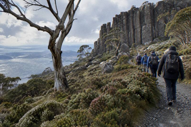
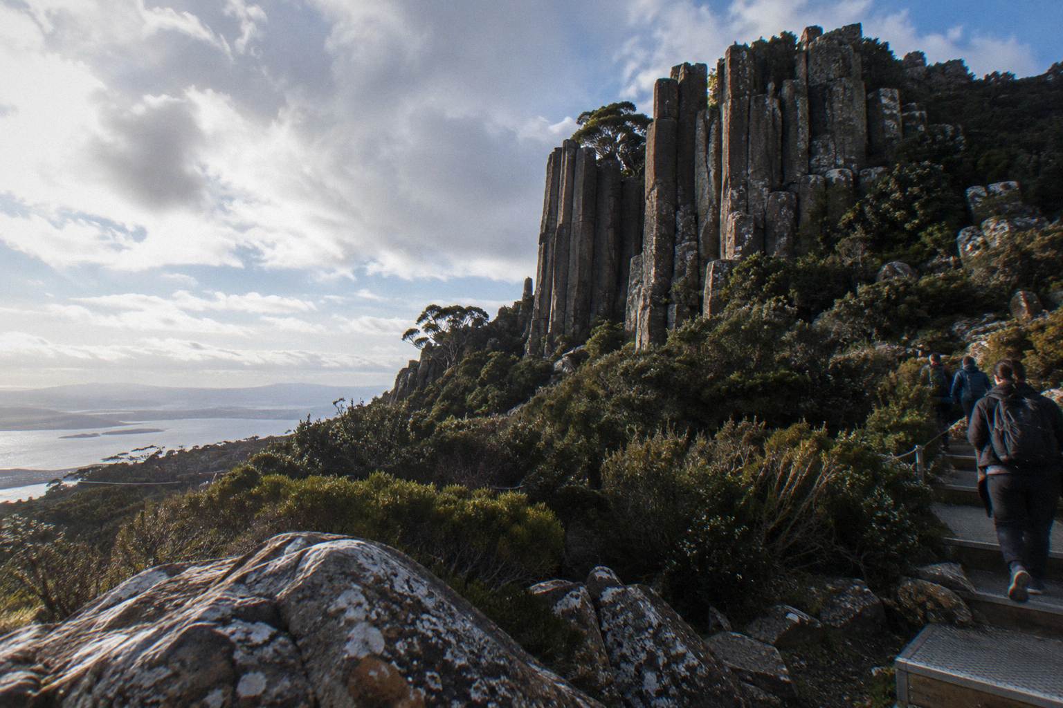
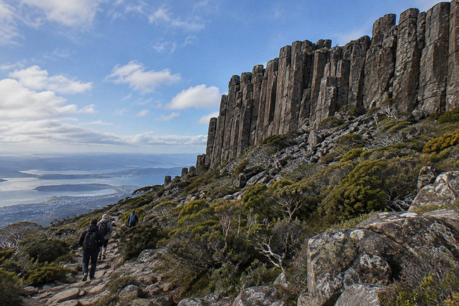
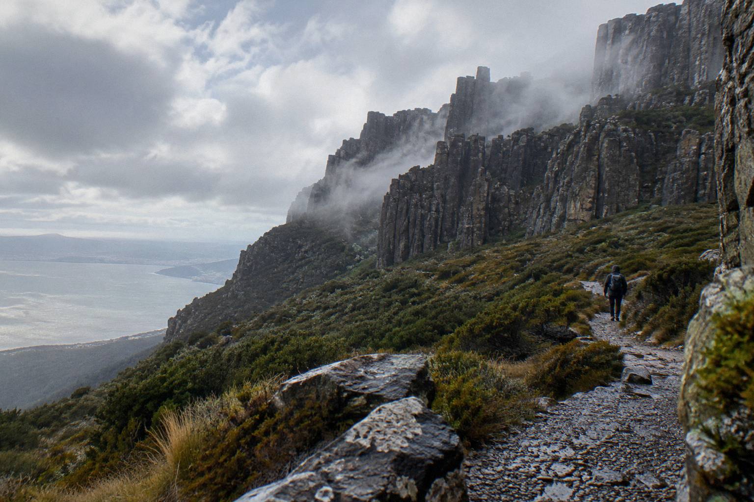
The Organ Pipes are a formation of dolerite columns on the upper slopes of kunanyi / Mount Wellington, prominent enough to be seen from Hobart itself, and the Organ Pipes Circuit is the 9.2 km loop the Wellington Park Management Trust lists as the way to walk among them. The Trust describes them simply as "dolerite columns visible from Hobart", which undersells how dominant they are in the city's skyline. From the waterfront, the pale vertical lines on the mountain's face are the columns; from the circuit, you are walking through the country that sits directly beneath them.
The mountain is gazetted with its dual name, kunanyi / Mount Wellington, and the Trust recognises it as the traditional lands of the Muwinina people. The park itself, Wellington Park, covers 18,011 hectares, is open seven days and has free entry. That last point matters for walkers: this is not a national park, there is no Parks Pass to buy and no gate fee, so a self-guided day on the Organ Pipes Circuit costs nothing beyond your transport to the mountain and whatever food and drink you carry.
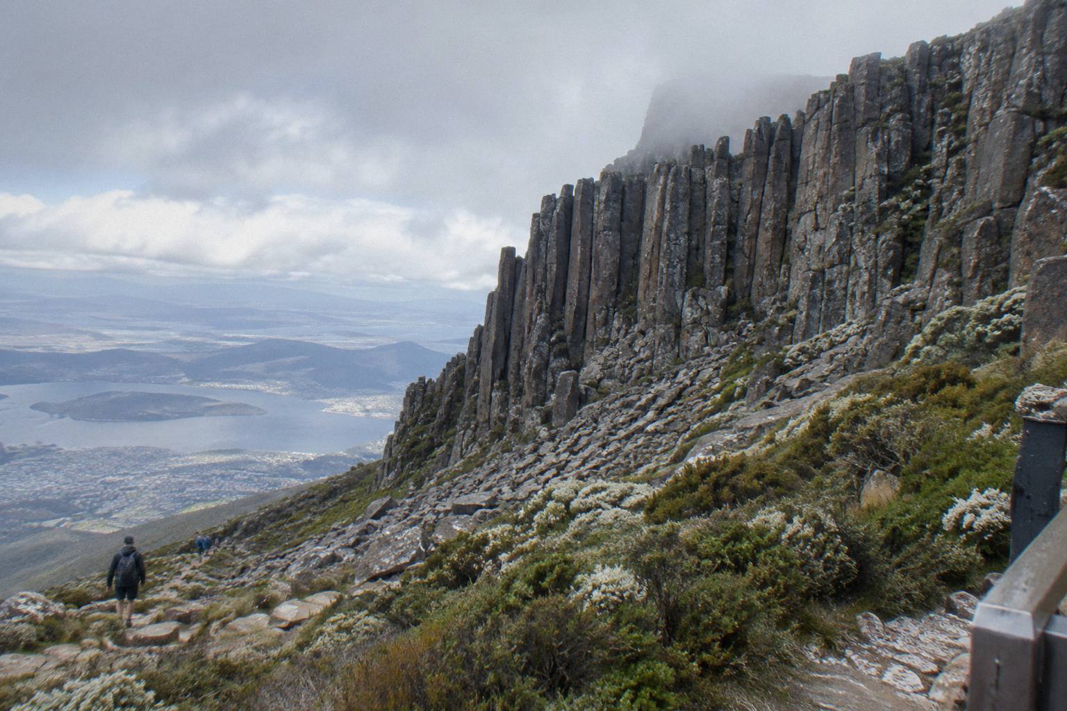
The dolerite itself is the reason the columns look the way they do. Tasmania's mountains carry a lot of this Jurassic-age rock, and on kunanyi it fractures into the tall vertical prisms that gave the formation its name, resembling the pipes of a church organ. The Trust's popular attractions page groups the Organ Pipes with the park's other headline features, including The Springs, Silver Falls and the North South Track, which is a fair indication of how the loop sits in the park's overall walking offer.
If you are still building a picture of the mountain's walking options more broadly, the companion piece on walks and hikes across kunanyi covers the wider track network, including the shorter options around Fern Tree that suit a half day rather than a full loop.
How Long Is The Organ Pipes Circuit And What Is The Track Like?
The Organ Pipes Circuit is a 9.2 km loop, a figure published by the Wellington Park Management Trust. The Trust does not publish a walking time, a grade or a suggested direction for the loop, and no other official source fills those gaps, so any time or difficulty figure you see elsewhere is an unofficial estimate. The distance is official, and the loop is one of the park's named popular attractions, which puts it in the category of established, signposted tracks rather than informal routes.
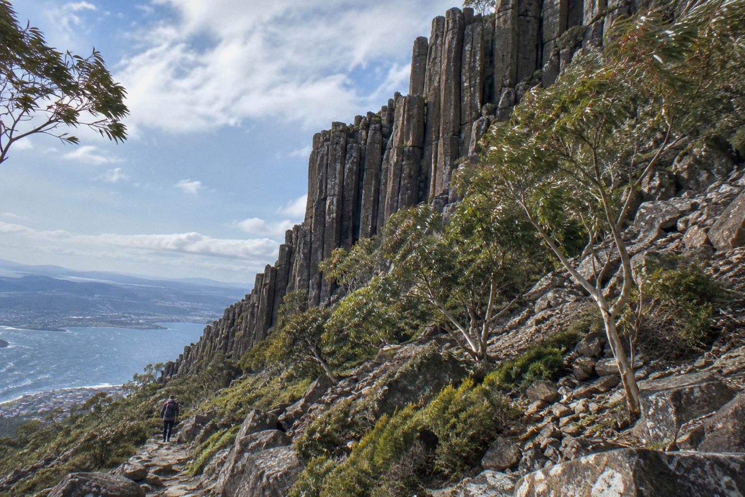
Around the circuit, the track picture looks like this, and it is worth knowing what each option actually offers before you commit to the loop:
| Track or feature | What the Trust verifies |
|---|---|
| Organ Pipes Circuit | 9.2 km loop; Organ Pipes described as dolerite columns visible from Hobart |
| Sphinx Rock | A short, level walk linked from The Springs |
| Lookout Circuit and Exhibition Gardens | Linked from The Springs |
| Silver Falls | A 4 m waterfall reached from Fern Tree Park along the Pipeline Track |
| O'Grady's Falls | A 2.2 km walk from Fern Tree |
| North South Track | Blue Square (intermediate) for bikes, Moderate for walkers; Glenorchy MTB Park at its northern end |
Two cautions sit alongside that table. First, lengths were not read for the Zig Zag Track, the Pinnacle Track or various other routes, so none are described here; do not assume a figure you half-remember from a forum thread. Second, the Pipeline Track, which runs wide and shared-use between walkers, runners and bikes, has TasWater repair works between Neika and the Northwest Bay Weir that began in late September 2026 and run for several months, with temporary closures from 7am to 5pm on weekdays. If your route to Silver Falls uses the Pipeline Track, expect weekday disruption rather than a fully open track.
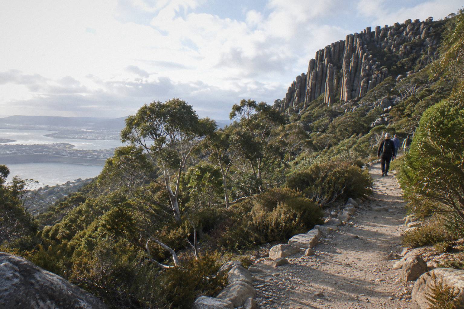
The starting geometry matters too. The loop is served by the same access points as the rest of the upper mountain, particularly The Springs at 720 m, where Pinnacle Road passes a sheltered picnic area with the Lost Freight Cafe, the only food outlet on the mountain outside Hobart itself. Parking at The Springs, The Pinnacle and the lay-bys is limited, and the Trust's getting-there page warns of congestion on snow days when the City of Hobart runs traffic management. A loop that starts and ends at The Springs therefore pairs a good walk with the most practical transport hub on the mountain.
Whether you walk it alone or in company, the format you choose shapes the day, and three trips listed here suit a walker comparing options:
- Return Explorer Bus Pass
- Summit Tour, 2 Hours 45 Minutes
- MONA Plus Summit Day Trip
- Mt Field, Bonorong And Richmond Trip
- Hop-On Hop-Off Summit Pass
- Summit And City Combo
- Bike Descent, Rainforest Trail
- 48-Hour Bus And City Loop
- Richmond Village Shuttle Trip
- Two-Hour Small-Group Summit
- One-Way Explorer Bus Pass
- Organ Pipes Guided Walk
- Half Day, Cascade Female Factory
Each of those is a different way to spend time on the mountain rather than a ranking, and the sections below look at when each makes sense against a self-guided loop.
Should You Walk The Organ Pipes Track Guided Or Self-Guided?
Go self-guided if you are confident making your own route, weather and transport calls; entry to the park is free and the Trust's materials, including its bushwalking map, are designed for independent visitors. Book the Morning Guided Walking Tour if you prefer a university-trained local guide, a small group of up to 10 guests and logistics handled; it runs 4 hours from A$85 per person.
One caveat first: the Morning Guided Walking Tour's route is not published. Its listing confirms the duration, the group size, the meeting point at 20 Davey Street outside the Tasmanian Travel and Information Centre, and an easy guided nature walk with lookout stops, but no track on the mountain is named as part of it. So the tour does not promise the Organ Pipes Circuit or any part of it; if that specific loop is your goal, ask the operator directly before booking. What the tour does offer is a guided mountain walking experience with a trained guide, minimum age 8, and free cancellation up to 24 hours before the start.
The comparison, from the published facts, looks like this:
| Self-guided Organ Pipes Circuit | Morning Guided Walking Tour | |
|---|---|---|
| Cost | Park entry is free; you pay transport and food | From A$85 per person |
| Duration | No official time published for the loop | 4 hours |
| Group | Your own party | Up to 10 |
| Minimum age | Check when booking | 8 |
| Guidance | Trust publications and bushwalking map | University-trained local guide |
| Meeting point | Your chosen park access point | 20 Davey Street, Hobart |
| Cancellation | Not applicable | Free up to 24 hours before start |
Self-guided walkers take on three jobs a guide would otherwise do: reading the weather, choosing the turnaround point, and getting to and from the track. The mountain's weather is the serious one. The Trust's safety guidance says high winds and temperatures below zero are common at the summit, and the difference between the Hobart waterfront and The Pinnacle can be 12 degrees or more, with the operator's own figure around 10 degrees; the practical advice is to plan for conditions often 10 to 12 degrees or more colder than the city, never a fixed gap. The Trust also warns wind chill below minus 20 °C is possible. The deeper detail is in summit weather and how it changes your tour plans, which is worth reading before any walking day.
Guided walkers hand those calls to someone who makes them often, which is the real product being bought. The trade is flexibility: a fixed 4-hour window, a fixed meeting point, and a walk graded easy rather than a route you choose. For visitors with a single morning on the mountain, or families with children aged 8 and over, that trade frequently makes sense. For locals or confident walkers with a map and a weather app, the free park and a 9.2 km loop usually win.
What If You Want The Summit Views Without The Full Loop?
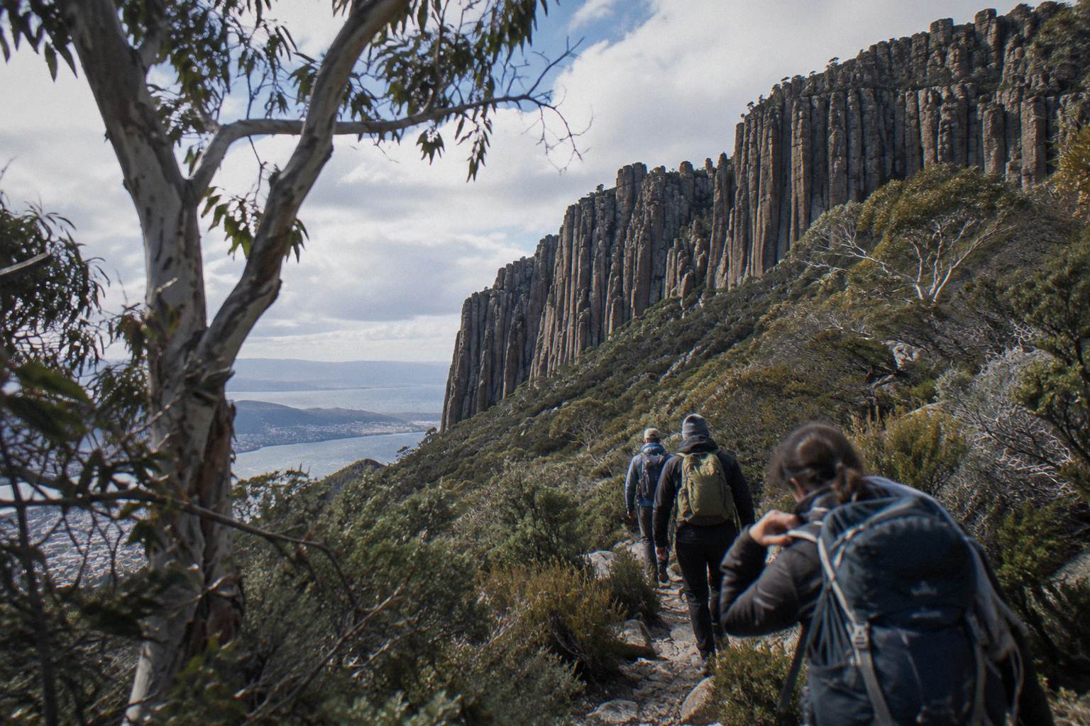
Not every walker wants 9.2 km, and the alternative is the Pinnacle 2-Hour Small-Group Tour, from A$55 per person, which drives to the summit by minibus with a university-trained local guide and gives 30 minutes of free time at the top to explore the views. It is a tour rather than a walk, group up to 11, minimum age 8, meeting at 20 Davey Street. It suits the day when the weather window is short, the legs are not up for a loop, or the party is split between walkers and view-seekers.
Both this tour and the Morning Guided Walking Tour are run by Island of Tasmania Tours, one operator offering two formats of mountain experience rather than two rival products. The differences that matter to a walker are duration, 2 hours against 4, and what the time is spent on: the Pinnacle tour is built around lookout stops and summit free time, with photography called out on the listing, while the walking tour centres on an easy guided nature walk. Hotel pickup and drop-off is listed as not included on both; you meet at the same corner of Davey and Elizabeth Streets.
The Pinnacle tour also carries an optional drop-off at the cruise ship terminal, which is why it appears in the planning conversation for cruise ship day mountain tours: a ship day rarely leaves room for a 9.2 km loop, but it leaves plenty for two hours to the summit with a guide. Note the tour is not wheelchair accessible per its booking page, and electric wheelchairs are not allowed; the Explorer Bus fleet, by contrast, is mostly wheelchair accessible, which is covered in the site's guide to accessible ways to reach the summit.
How Do You Get To The Organ Pipes Track Without A Car?
Since Pinnacle Road is the only public road into the park, reaching the Organ Pipes Track without a car means taking the Kunanyi / Mt Wellington Explorer Bus. It runs hop-on hop-off to five stops, Fern Tree Park, The Springs, The Chalet, Big Bend and The Pinnacle, with one-way passes from A$35 per person and a 50-minute ride to the summit. For a walker, the interesting stops are the lower ones.
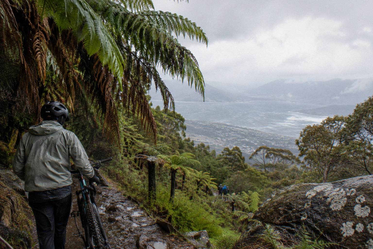
A one-way pass upward is the classic walker's tool: ride to The Springs or higher, walk the loop, and descend under your own steam. The broader options, including the free Metro buses that reach Fern Tree but not the summit, are laid out in how to get up the mountain without a car. One planning note from that page worth repeating here: Tasmanian public transport is free as a temporary measure, but the Metro 448 and 449 routes stop at Fern Tree on Huon Road, well below the Organ Pipes country, so the free bus gets you to the mountain's foot and no further.
The road itself deserves respect from anyone planning around it. It is sealed and open to conventional vehicles, but narrow and winding, shared with bikes, pedestrians and tour buses, and the City of Hobart closes it whenever ice or snow is present, sometimes before snow arrives. In 2025-26 it was closed 95 nights for snow or ice, the summit was unreachable by private vehicle on 14 days, and one September day after heavy snow saw a record 1,906 vehicles attempt the mountain. Every November it also shuts entirely for annual maintenance, with no vehicle access to the summit and no pedestrians or cyclists on the road during the works. Before any walking day, check the City of Hobart's Pinnacle Road status page or call the Pinnacle Road Information Line on 03 6238 2711.
Can You Combine The Organ Pipes Area With A Bike Descent?
The Summit Descent Bike Tour, from A$179 per person, runs approximately 4 hours with a group of up to 10 and includes a 30-minute bus transfer to the summit, a 6 km descent of the summit road, a 15-minute transfer to a rainforest trail and a 12 km guided rainforest ride, with bike, helmet and gloves included. It is a different way to cover the mountain's vertical, and it suits a party where one person wants the loop and another wants the ride.
The booking facts carry two cautions worth knowing. Riders need basic bike handling skills and a basic fitness level, the tour is not suitable for people under 120 cm or over 120 kg, and there is a genuine conflict in the published material: one booking page states a minimum rider height of 120 cm while another states 125 cm. If you are booking for a younger teenager, confirm the minimum with the operator before paying. Cancellation is free up to 24 hours before the start, which takes some of the planning risk out of a weather-dependent day.
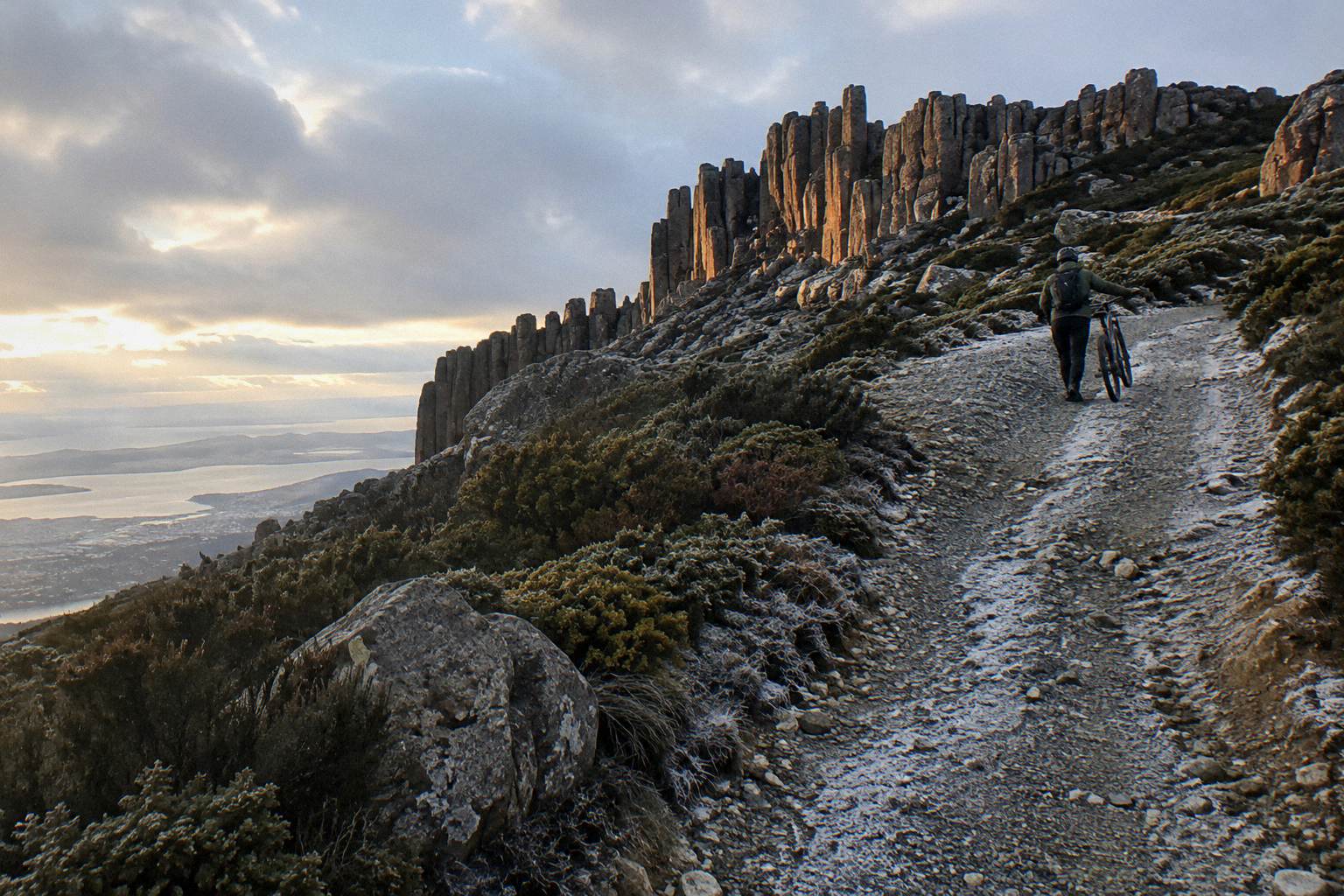
For independent riders, the park's rules are specific: bikes are allowed on formed roads, fire trails and listed tracks only, and riders caught on walking-only tracks can be fined. The North South Track is Blue Square, intermediate, for bikes, and the Glenorchy MTB Park sits at its northern end. The Organ Pipes Circuit is a walking attraction in the Trust's materials, which say nothing either way about bike access on it; if you want to ride on the mountain, start from the listed tracks and theMTB park rather than assuming loop access. The site's guide to downhill bike rides from the summit covers the full picture.
What Should You Wear And Carry For The Organ Pipes Circuit?
Dress for conditions often 10 to 12 degrees or more colder than Hobart, with high winds possible at any time of year, layers you can shed as you descend, windproof and waterproof outer layers, and more food and water than you think you need, because the only food outlet on the mountain is the Lost Freight Cafe at The Springs and there is no cafe at the summit. The Trust's safety material is blunt about this mountain.
The numbers behind that advice are worth seeing together, because they explain why the Trust writes the way it does:
| Condition figure | Source and detail |
|---|---|
| 12 degrees or more | Trust: possible temperature gap between the Hobart waterfront and The Pinnacle |
| Below minus 20 °C wind chill | Trust: possible at the summit |
| Mean 9.5 °C in January, 0.7 °C in July | Pinnacle climate averages, 1991 to 2020, at 1,260 m |
| Record low minus 9.1 °C | Pinnacle climate record |
| Sustained wind over 157 km/h | Recorded on the mountain, from Bureau of Meteorology data |
The mountain's official weather station is Kunanyi / Mount Wellington, station 094087, and the Trust's park safety page is the primary guidance for what those numbers mean for a walker. Live readings beat averages every time on this mountain, and the station itself notes that wind and feels-like readings can become unavailable when ice builds up on the equipment, which tells you what kind of place the summit can be. The Bureau's live observations are at the official station page for Kunanyi / Mount Wellington.
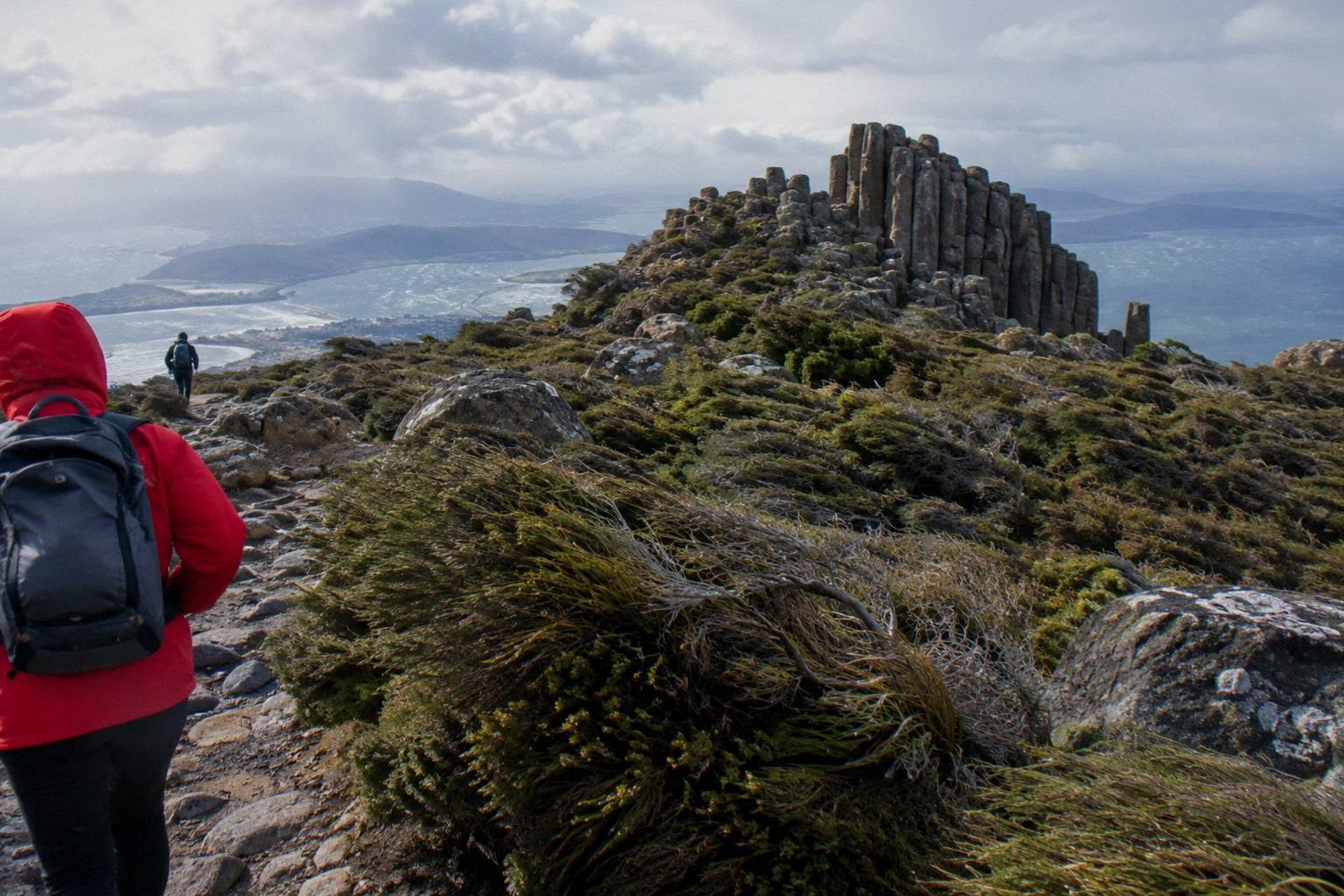
Snow deserves its own sentence: it can fall in any month on this mountain, not only in winter, with falls more likely overnight from May to September. The summit is also often in cloud, so no clear view is ever promised on any walking or tour day, a point even the mountain's bus operator makes about its own snow tours. Footwear advice follows from the track picture: the loop is an established park attraction but the upper mountain is exposed rock and alpine ground in places, so sturdy shoes with grip rather than street shoes. For the fuller kit discussion, see what to wear on a summit tour.
What Park Rules Apply On The Organ Pipes Circuit?
Wellington Park is free, open seven days and needs no pass, but it closes to all users on Extreme or Catastrophic fire danger days, drones are banned without a permit, overnight campervans are not permitted, dogs are allowed on lead on approved tracks only, and single-use plastics are banned. Walkers rarely trip over most of these, but the fire-danger closure is the one that can genuinely cancel a planned day, so check the rating in summer.
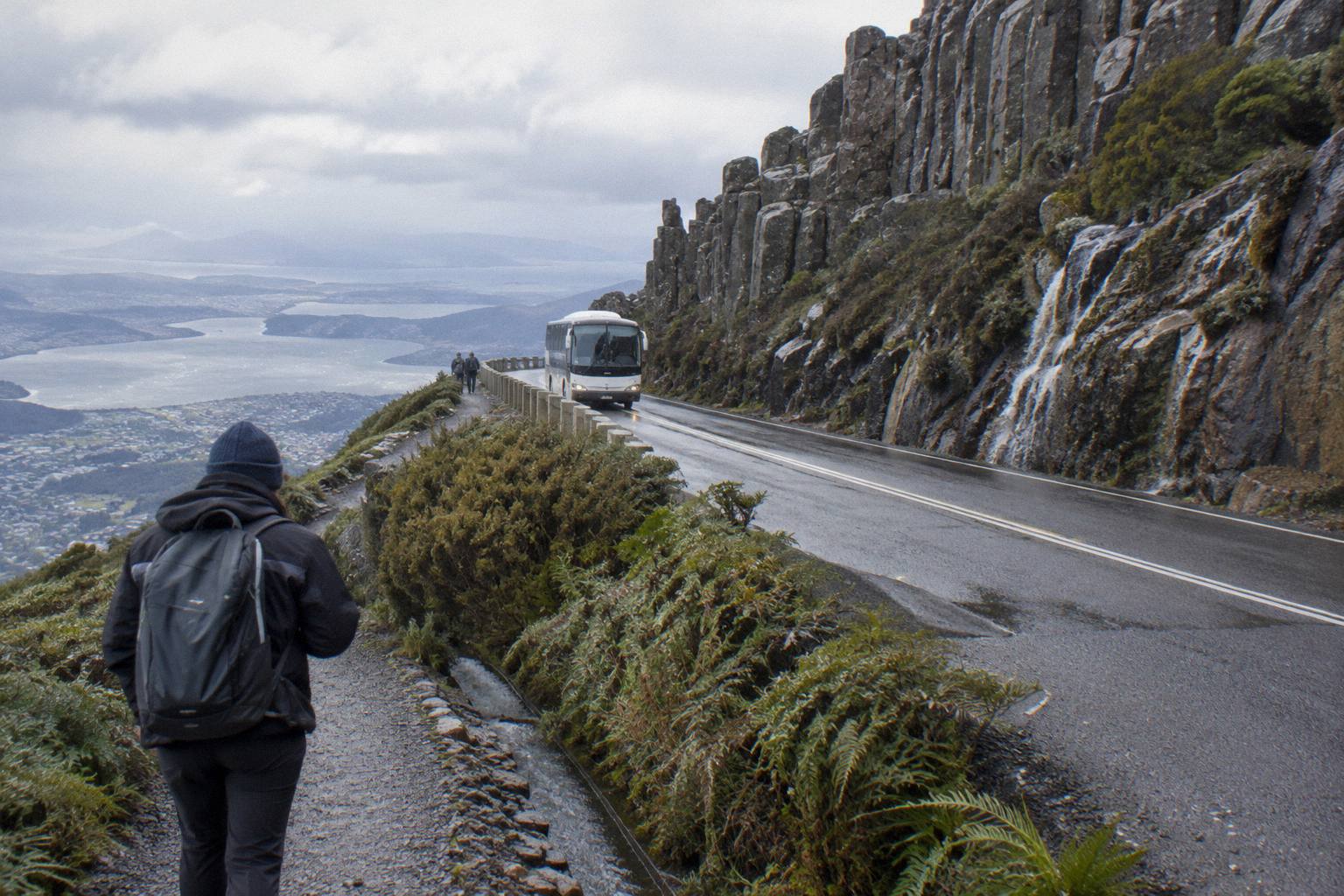
Commercial operators on the mountain, including every guided trip mentioned here, need a licence from the Wellington Park Management Trust, and client-to-guide ratios apply to licensed operations. That licensing regime is also why, on snow days when Pinnacle Road's gates are closed to the public, the Explorer Bus is the only licensed operator able to take visitors up beyond the closure: the Trust says so explicitly. It is a useful fact for a winter walker, because it means a closed gate does not necessarily mean a cancelled mountain day, only that your transport options narrow to one licensed service.
The rules around the tracks themselves are mostly about shared use. The Pipeline Track is wide and shared by walkers, runners and bikes, but carries the weekday TasWater closures described earlier. Bikes belong on formed roads, fire trails and listed tracks, with fines for riders on walking-only tracks. Abseiling and climbing are prohibited at the Springs Lookout for all users, commercial groups included. None of this complicates a straightforward Organ Pipes loop; it just frames the mountain as a managed place with a live rules list rather than open bushland.
A small practical footnote the Trust includes on its safety page: car key fobs can fail at the summit near the FM and TV transmitters. It is harmless and usually temporary, but if you drive up to start your walk, it has unsettled more than one visitor standing in a cold car park.
Guided Or Self-Guided: The Bottom Line
Go self-guided if the 9.2 km loop itself is your goal and you have a map, a weather plan and a way up the mountain, since the park is free and the Trust publishes what you need. Otherwise book the Morning Guided Walking Tour, from A$85 per person for 4 hours, where a trained local guide leads a group of up to 10; confirm the route with the operator first, because no tracks are named on it. Neither choice is the better one in the abstract.
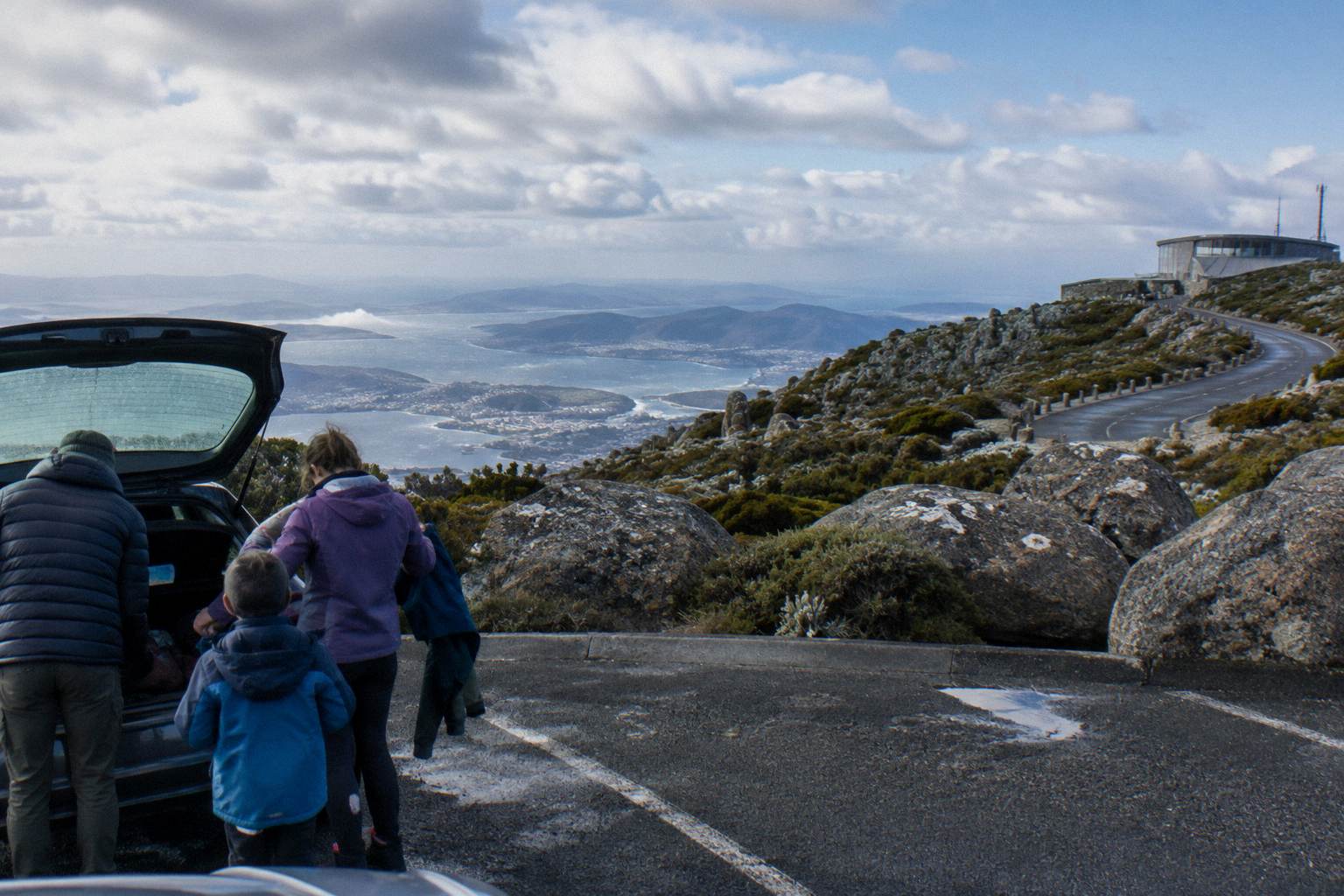
The weather argument leans guided for first-time visitors. A guide who reads the mountain daily will make a better call than a visitor looking at a forecast for a city that can sit 12 degrees warmer than the walk's high point. The cost argument leans self-guided, unambiguously: free entry, a free bushwalking map and, for the determined, a free public bus to Fern Tree. The middle cases are where it gets interesting: a cruise passenger with four hours ashore, a family weighing minimum ages, a party of mixed walkers and riders. Those are the days when the format matters more than the mountain does.
Whoever you book with, and whether you book at all, the same three checks apply on the morning of the walk: the Pinnacle Road status, on the City of Hobart page or the 03 6238 2711 information line; the live observation from the mountain's weather station; and the time you actually have, measured against a loop no official source has put a walking time on. For exactly that kind of morning, Mount Wellington Tours has the figures for every trip on the mountain in one place.
Common Questions About The Organ Pipes Track
How Long Is The Organ Pipes Circuit?
The Organ Pipes Circuit is a 9.2 km loop, a figure published by the Wellington Park Management Trust. The Trust does not publish a walking time or a grade for the loop, so any time estimate you see elsewhere is unofficial.
Can You See The Organ Pipes From Hobart?
Yes. The Trust describes the Organ Pipes as dolerite columns visible from Hobart, and they are a distinctive feature of the mountain's face as seen from the city and the waterfront.
Is The Organ Pipes Circuit Suitable For Beginners?
No official grade is published for the loop, so there is no official answer. It is an established, named park attraction of 9.2 km. If you want a guided, easy-graded introduction to the mountain instead, the Morning Guided Walking Tour lists an easy guided nature walk, though its route is not published and no track is named on it.
Do You Have To Pay To Walk On Kunanyi / Mount Wellington?
No. Wellington Park is free to enter, open seven days, and is not a national park, so there is no Parks Pass. Your costs are transport, food and any guided tour you choose to book.
Is There Food Or A Cafe On The Mountain?
The only food outlet is the Lost Freight Cafe at The Springs, a shipping-container cafe open seven days year-round except 25 and 26 December, with hours that vary. There is no cafe at the summit.
What Happens If Pinnacle Road Is Closed On The Day Of My Walk?
The road closes whenever ice or snow is present, and it shuts for annual maintenance every November, when tracks stay open but there is no vehicle access to the summit and no walking or cycling on the road. Check the City of Hobart status page or call 03 6238 2711 before you go. Licensed tours may still run; the Explorer Bus is the only licensed operator able to go up when the gates are closed for snow.